Kanniyakumari
A district you can walk from end to end, starting here.
India's southernmost district is only 1,672 square kilometres, yet it holds a 72 km coastline, the last hills of the Western Ghats, the old capital of Travancore and shrines of nearly every faith in the country. Pick a place and go through it on foot, scene by scene, in photographs taken there.
Where do you want to stand today?
Every corner, one wall
Drag sideways to wander. Tap any photograph to step closer.
The Cape
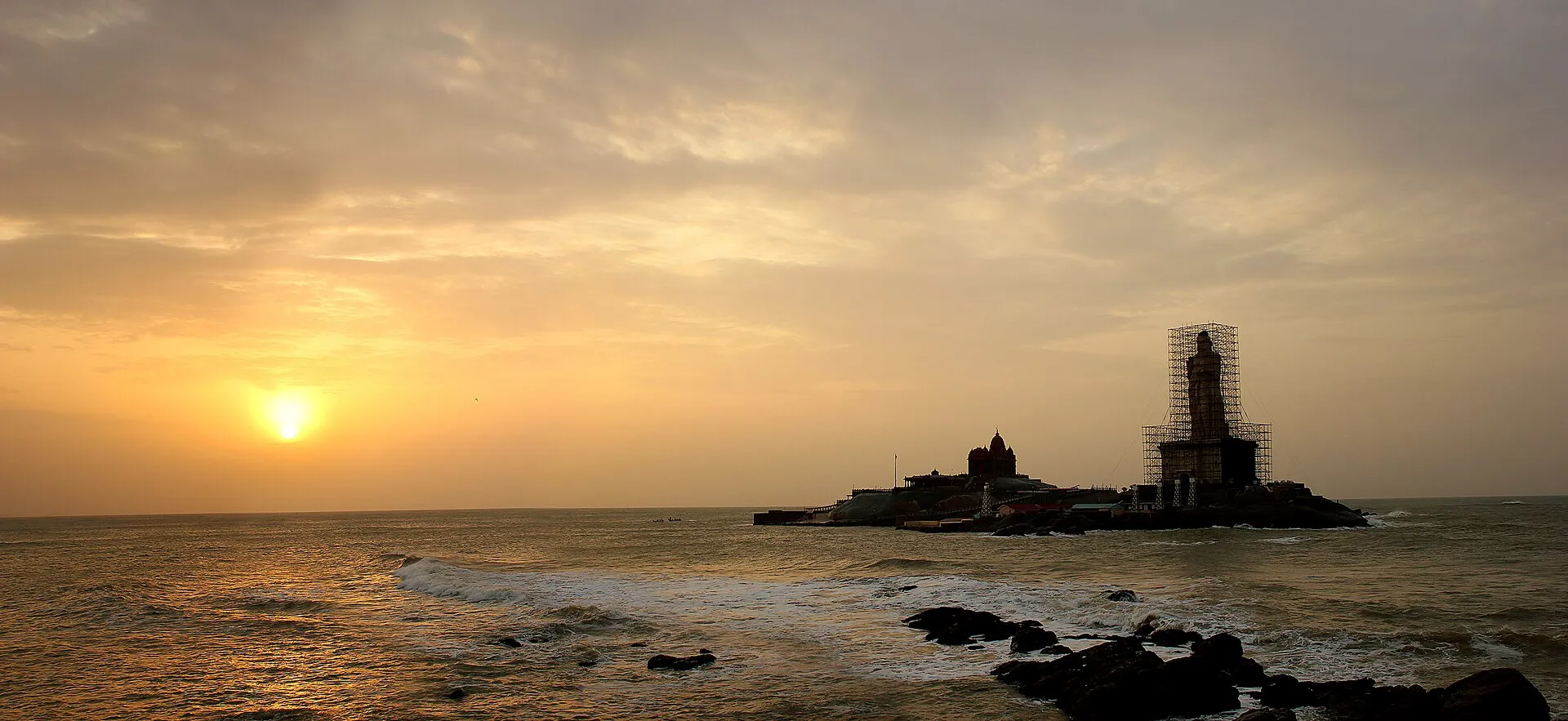
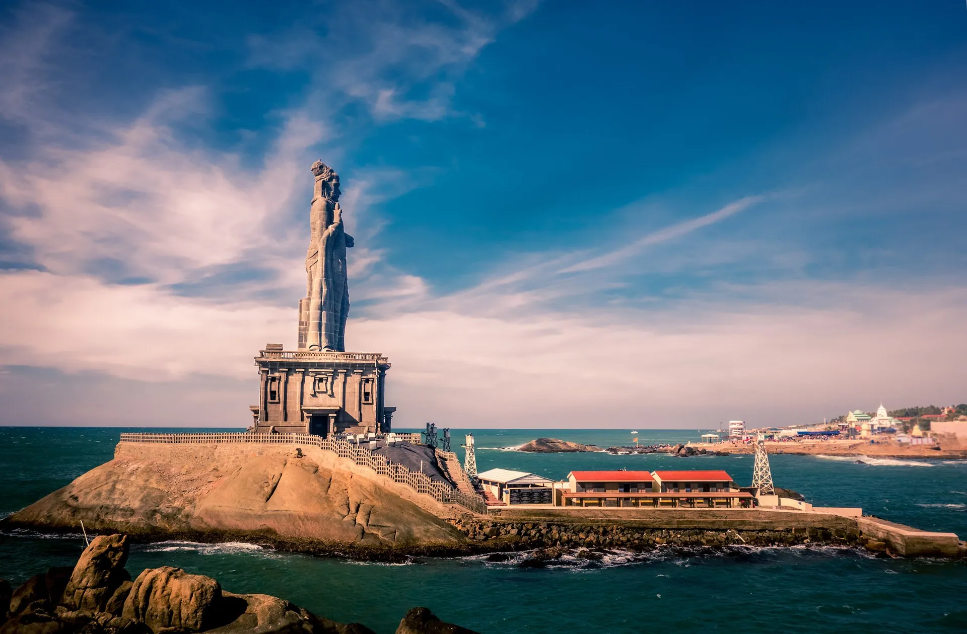
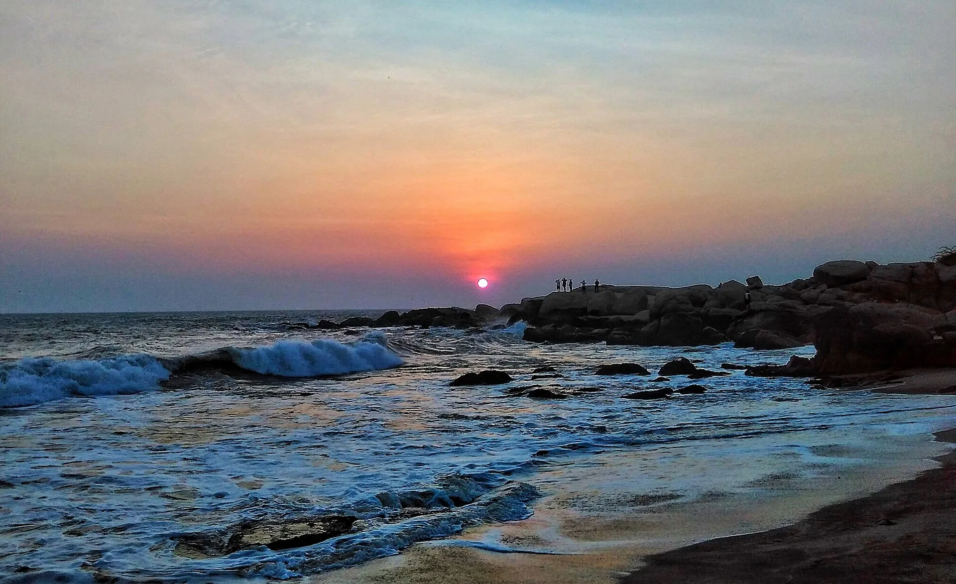
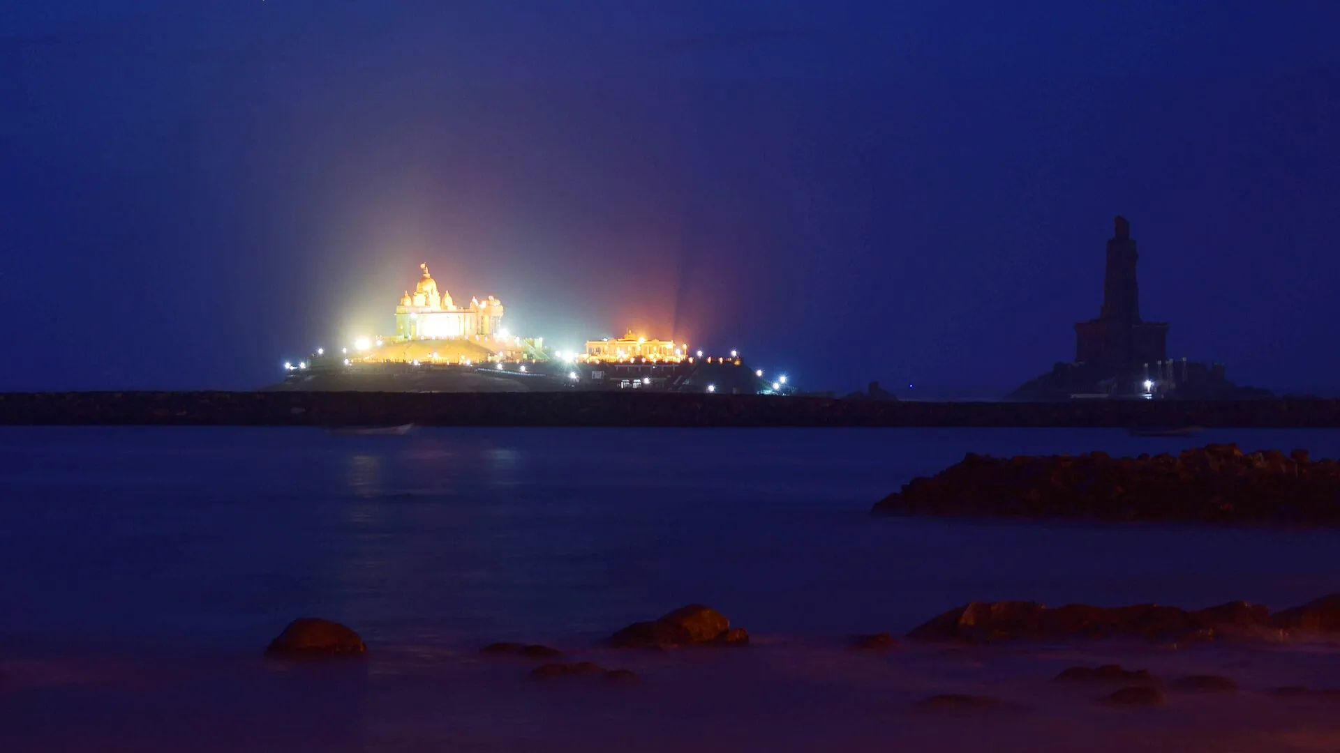
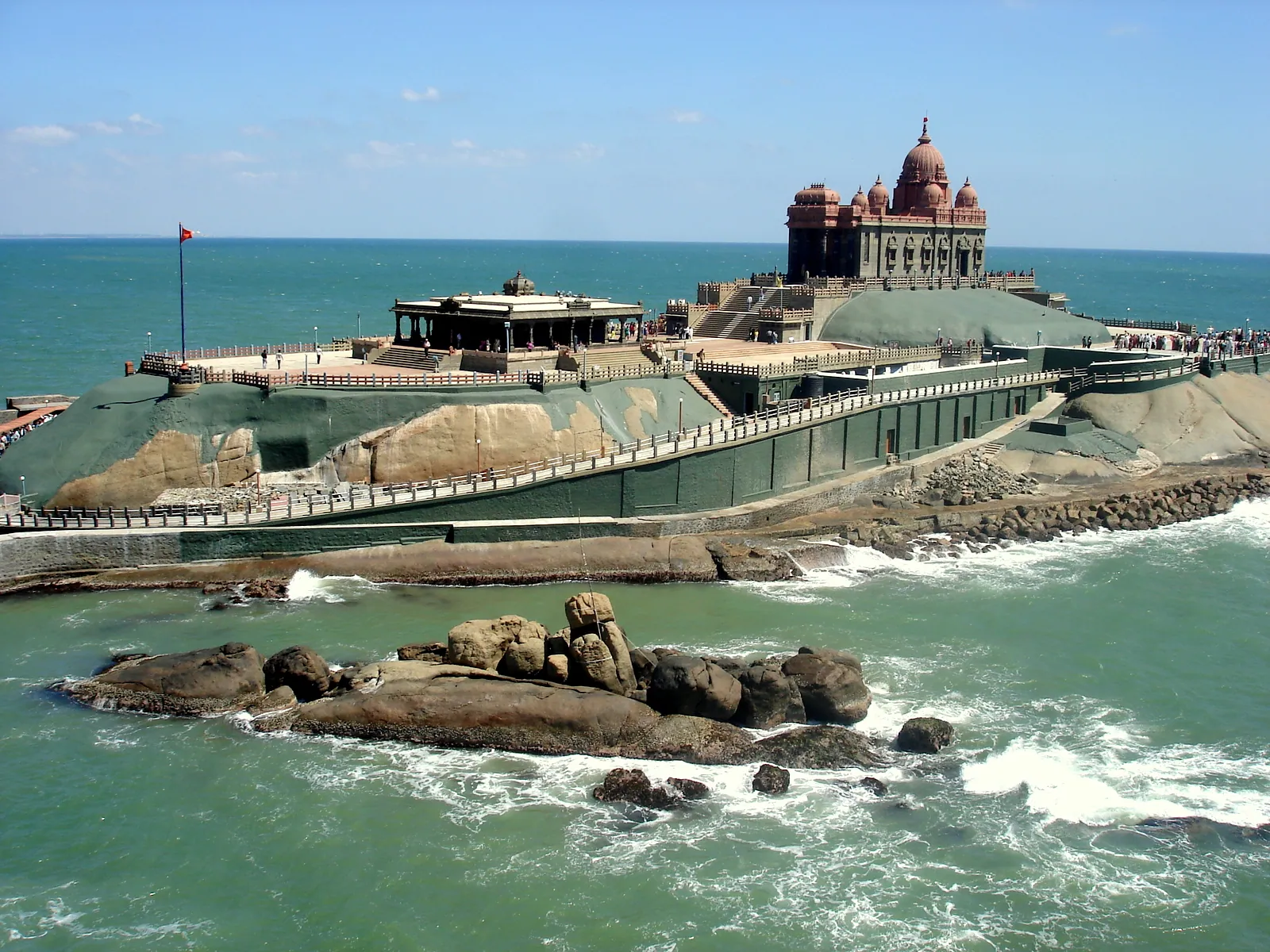
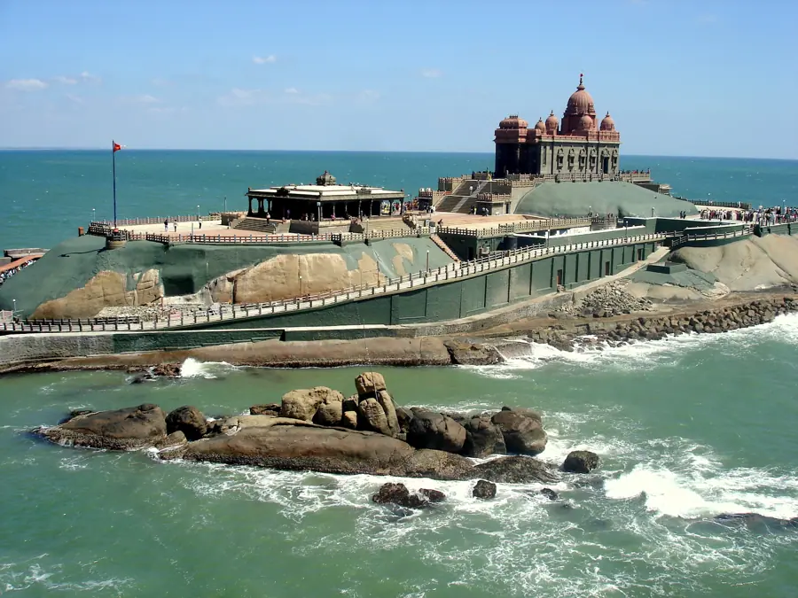
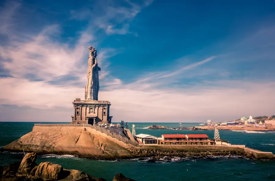
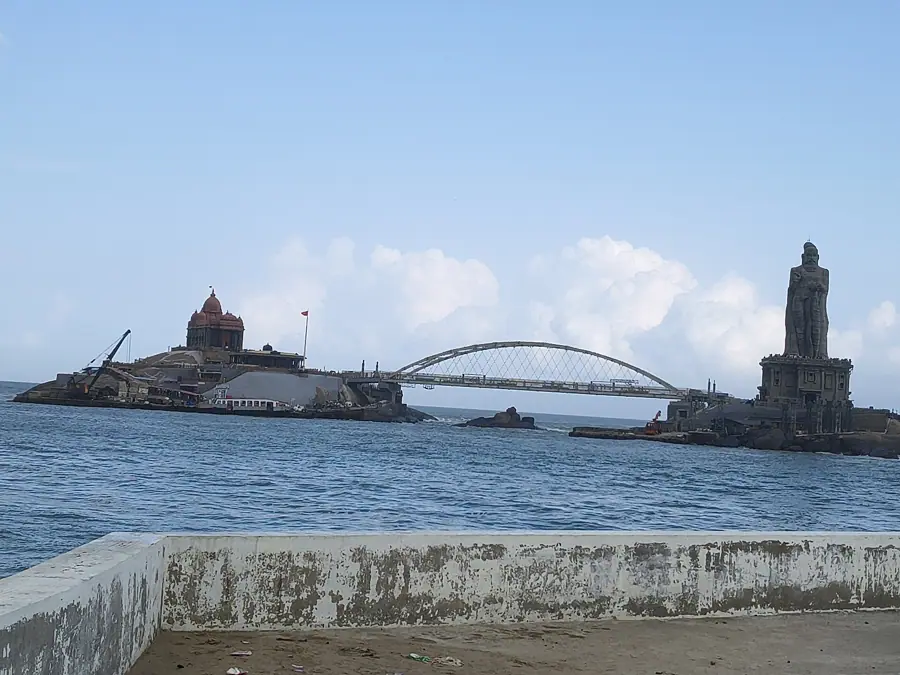
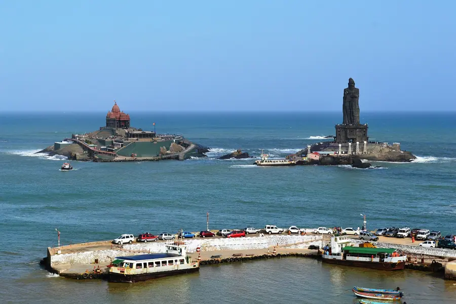
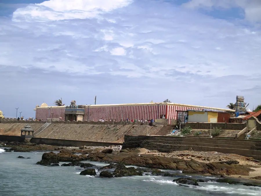
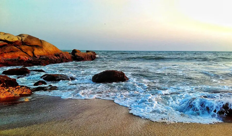
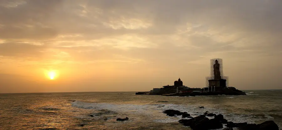
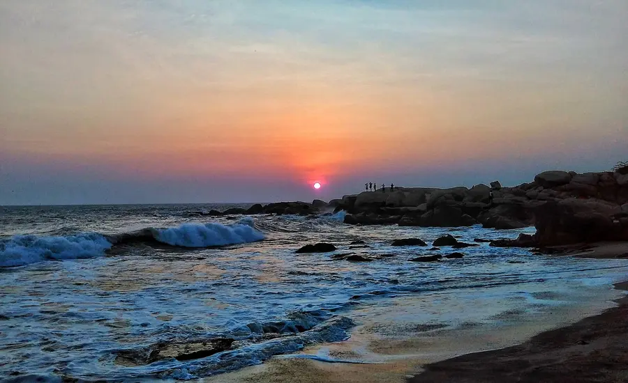
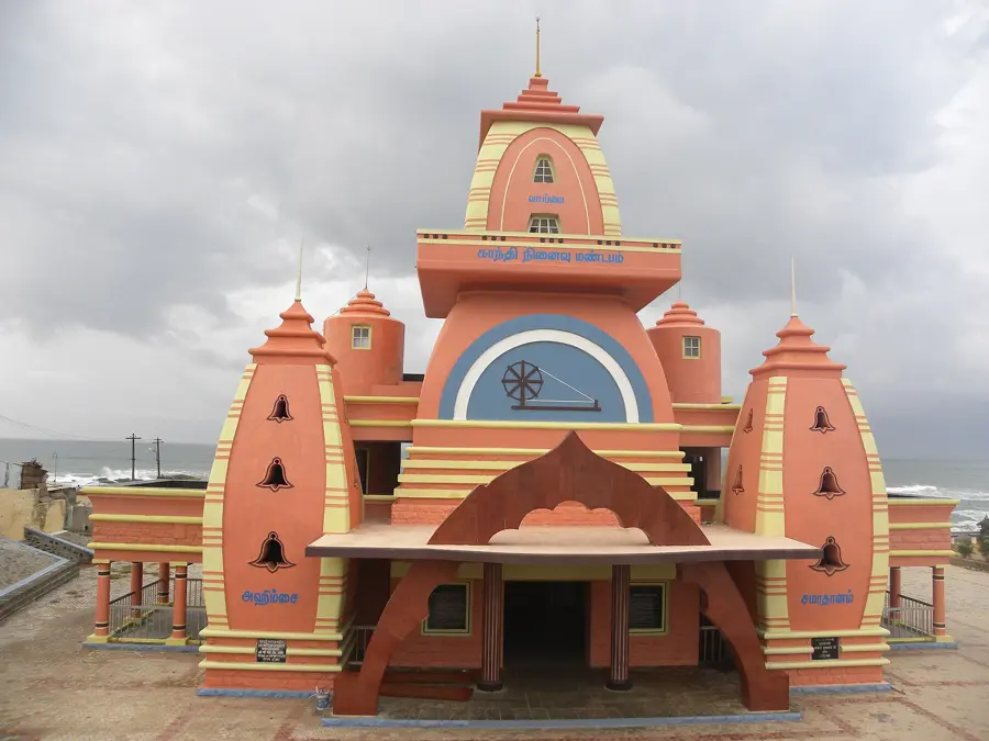
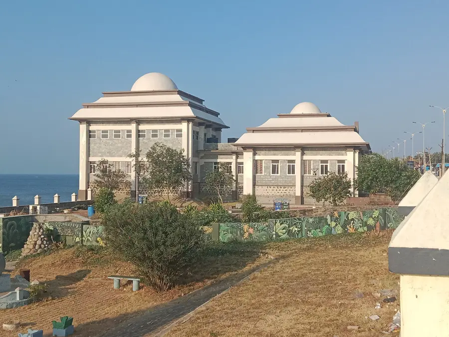
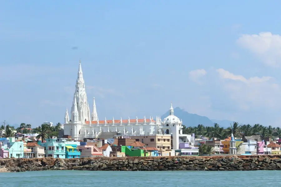
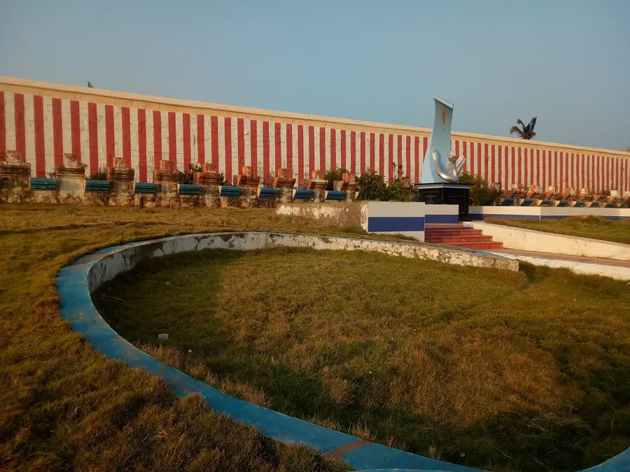
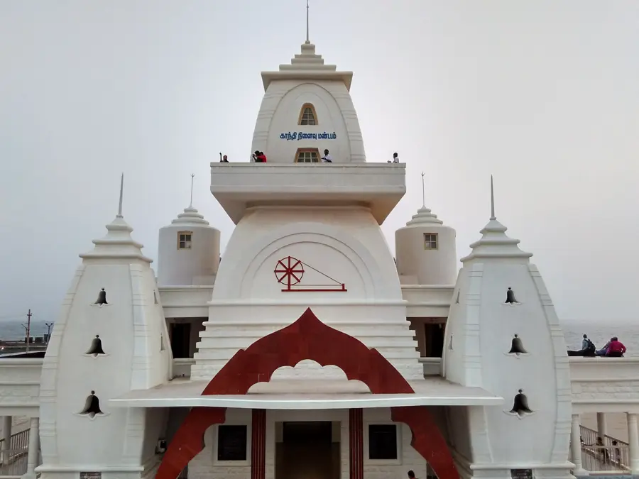
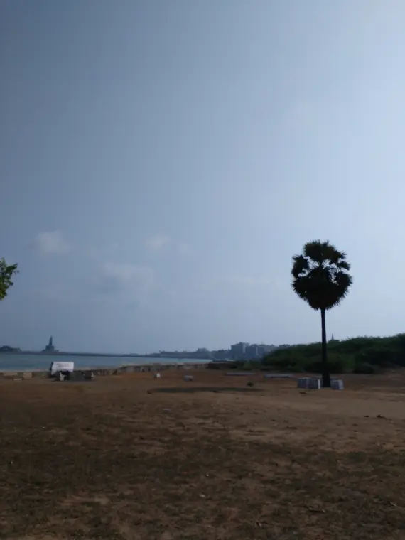
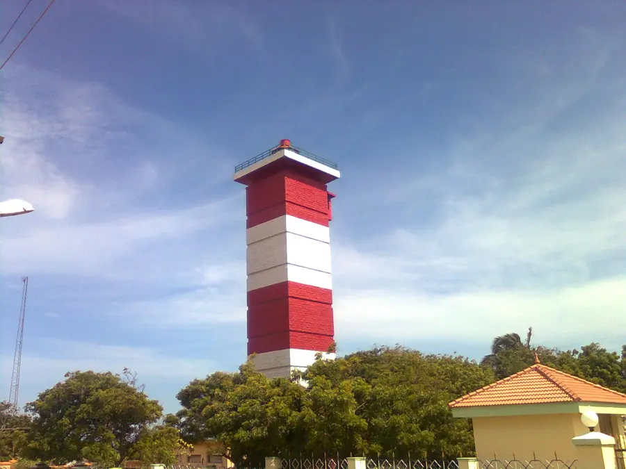
The land narrows to a point and the three waters meet. The rock memorial, the great statue, the goddess's temple and the sunrise that people cross the country to watch are all within a short walk of each other.
East Coast
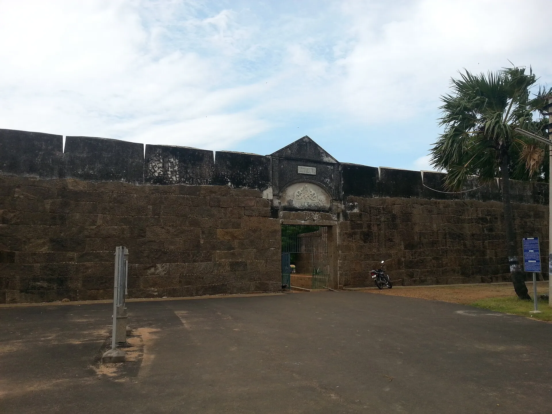
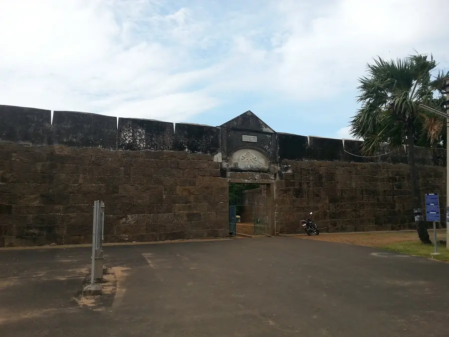
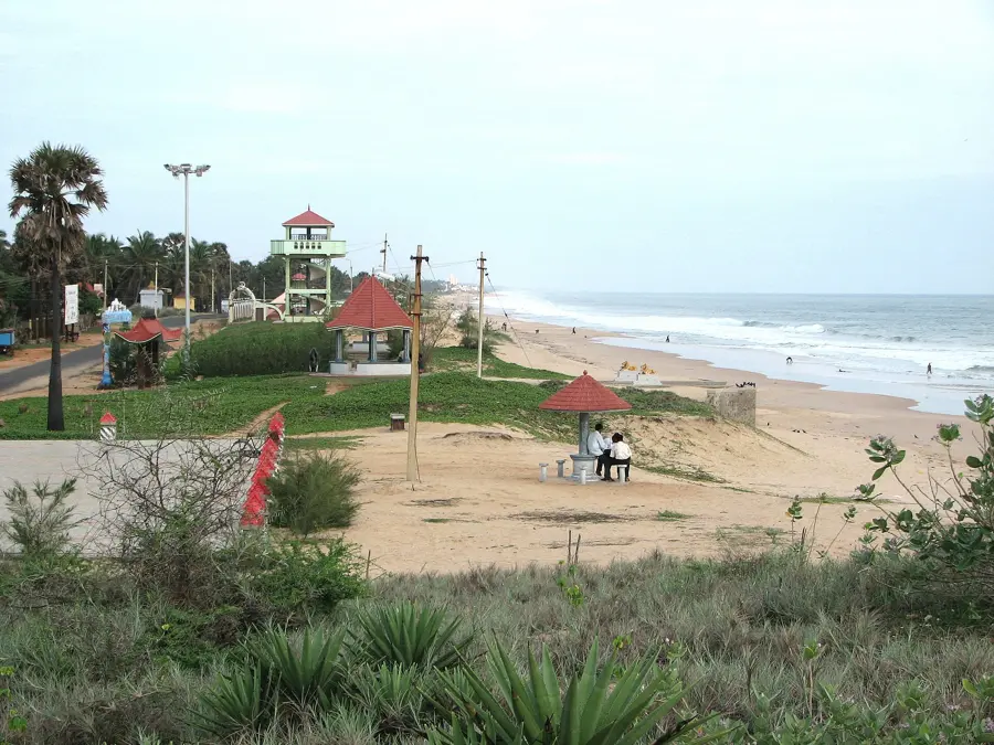
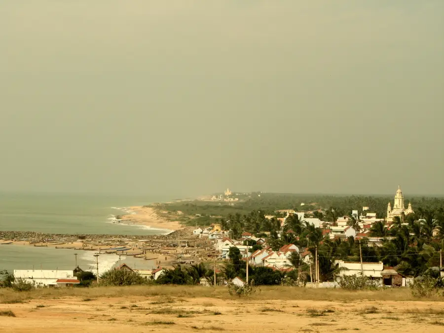
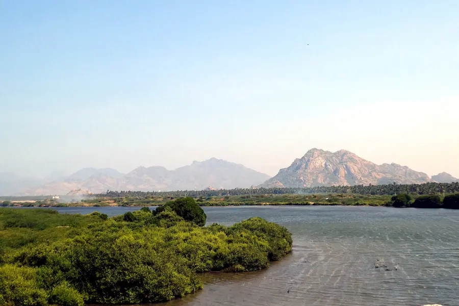
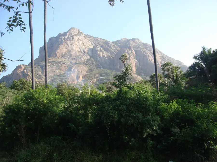
North-east of the Cape the shore turns quiet: a granite fort on the waterline, long empty sand, a tidal estuary, and a hill that tradition says fell from the sky with healing herbs on it.
Nagercoil & the Pass
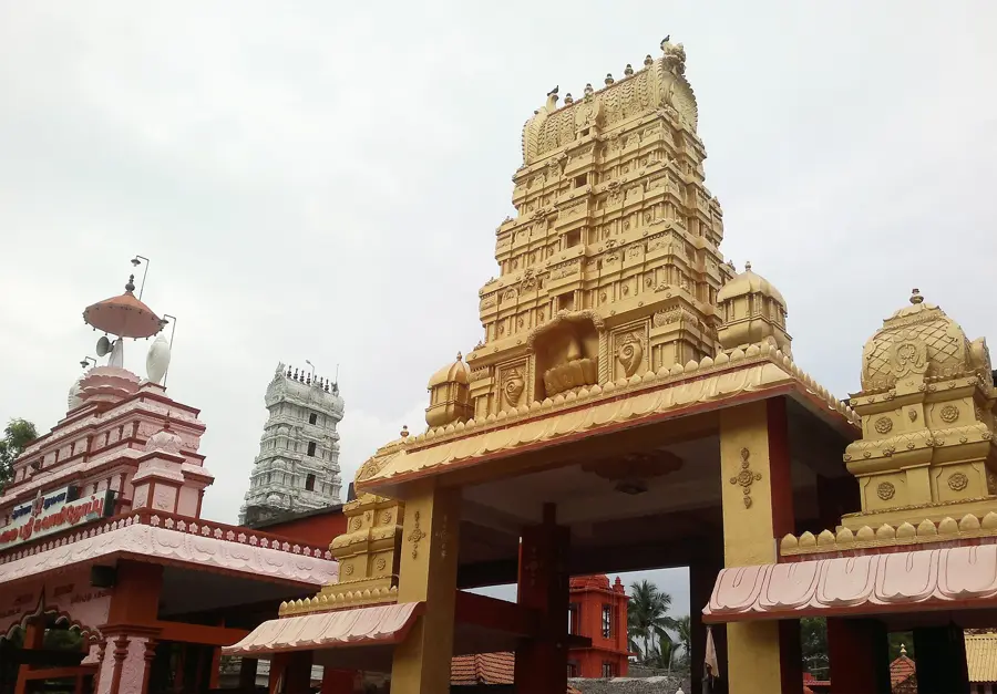
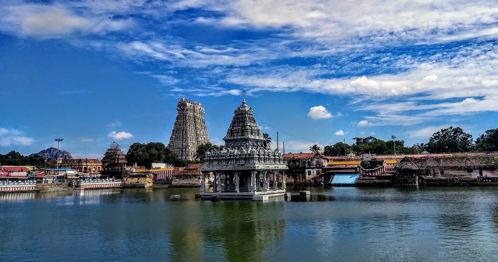
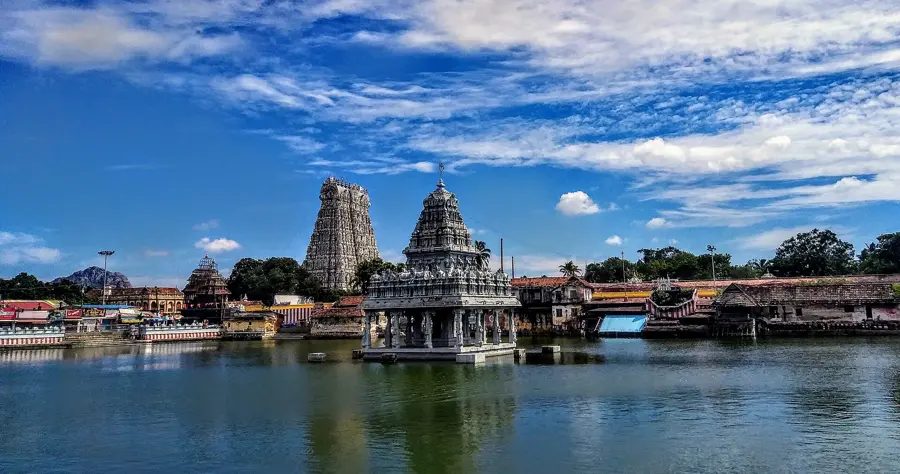
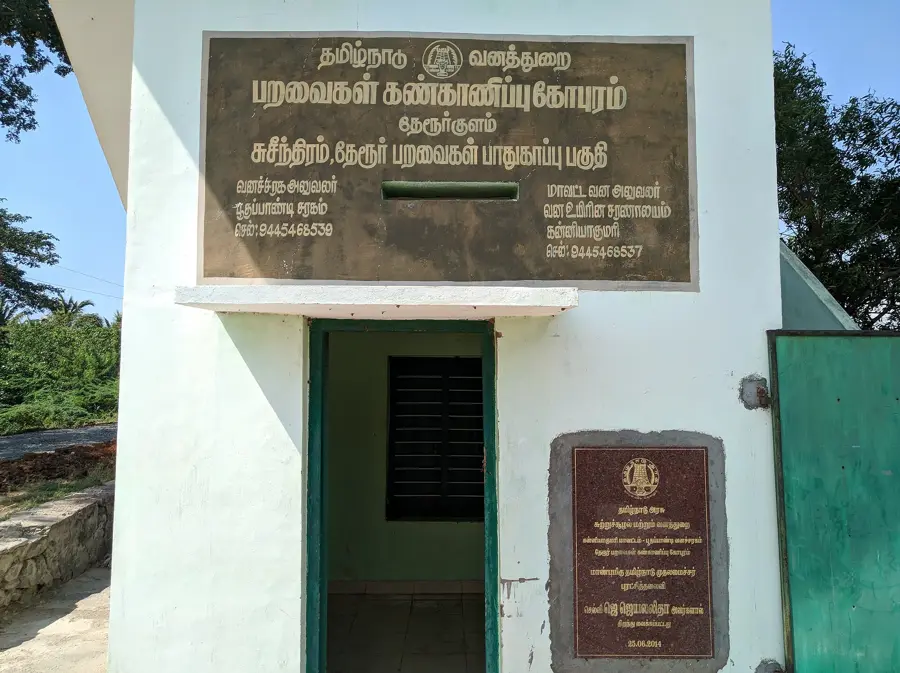
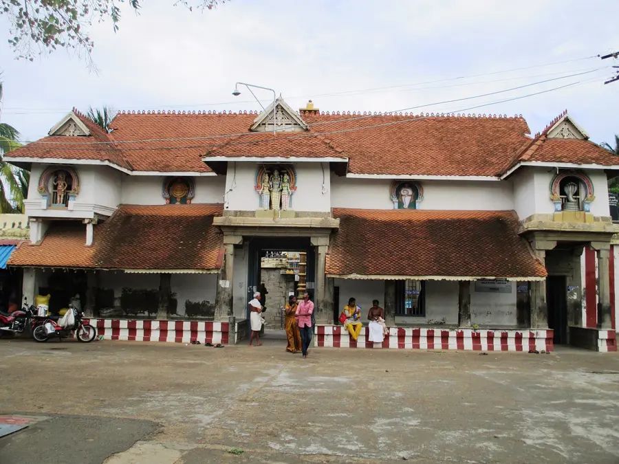
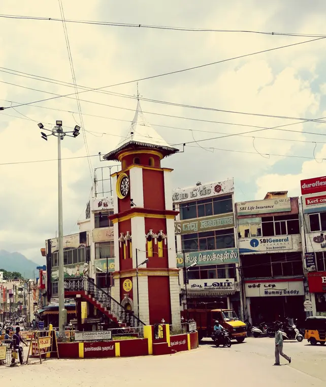
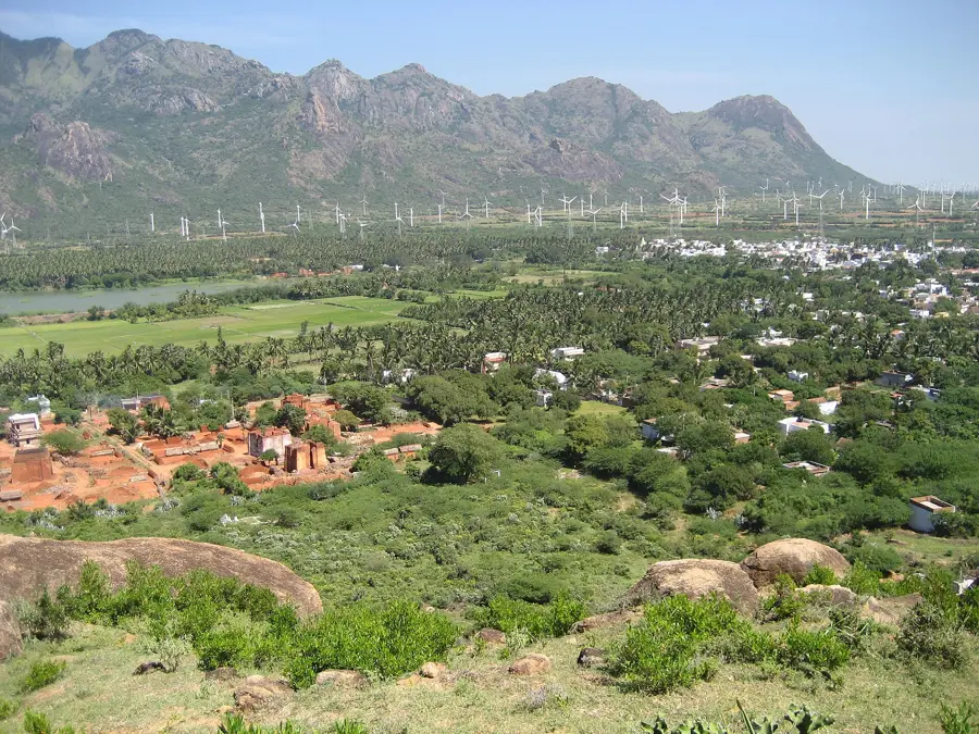
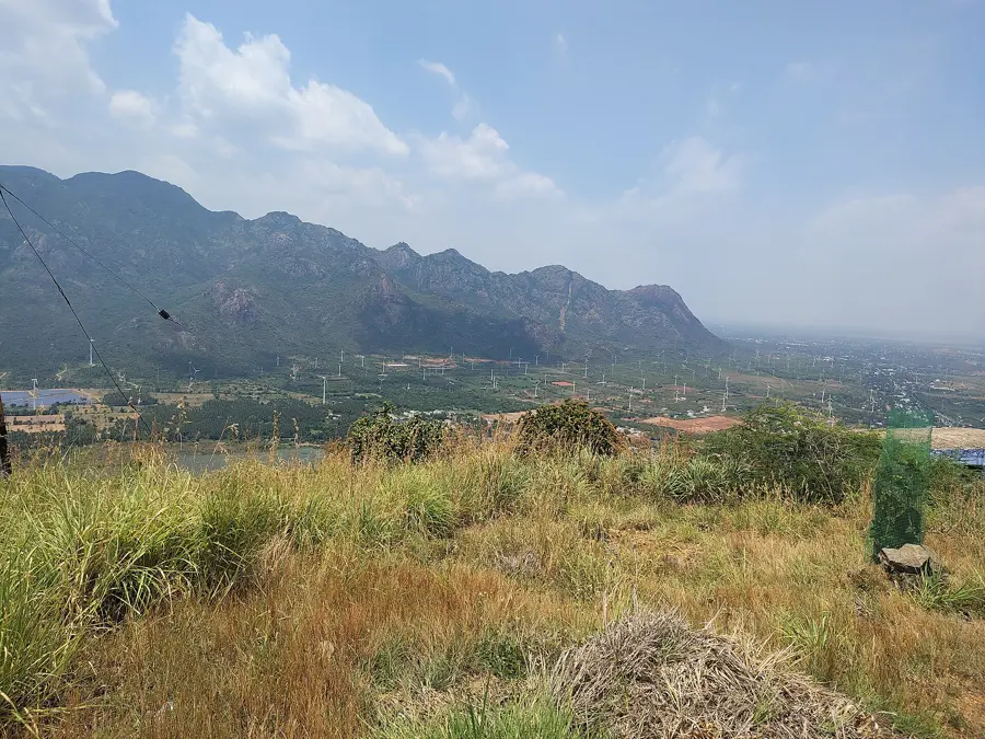
Inland lie the district's capital, one of the great temple towns of the south, and the mountain gap where invasions once came through and giant turbines now turn.
Palace Country
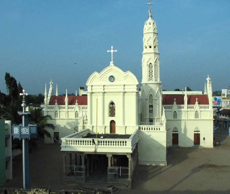
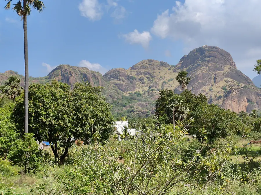
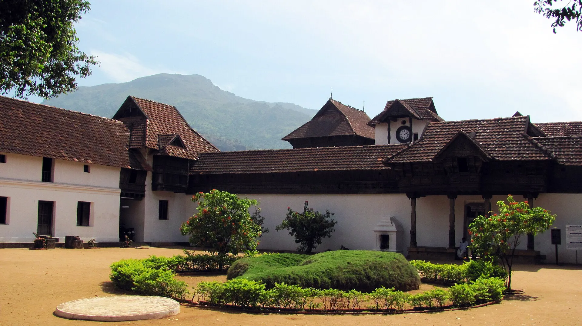
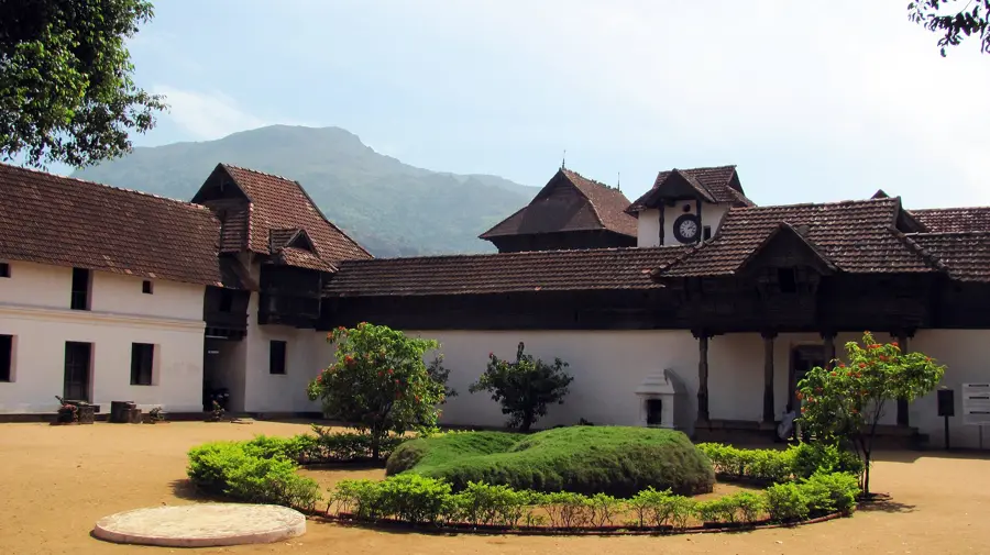
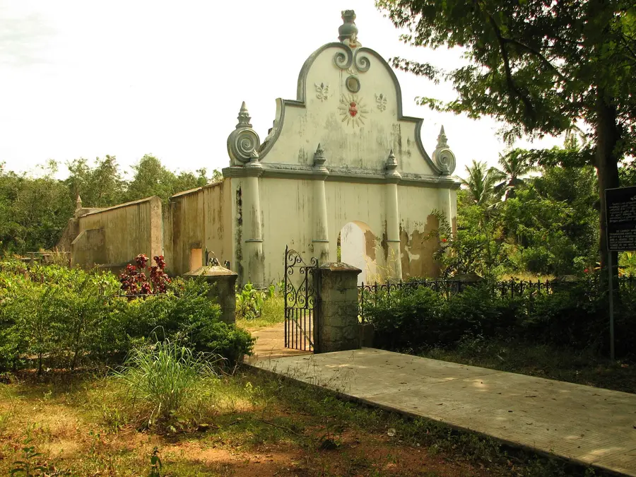
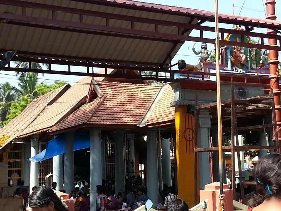
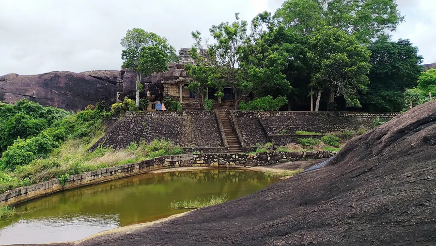
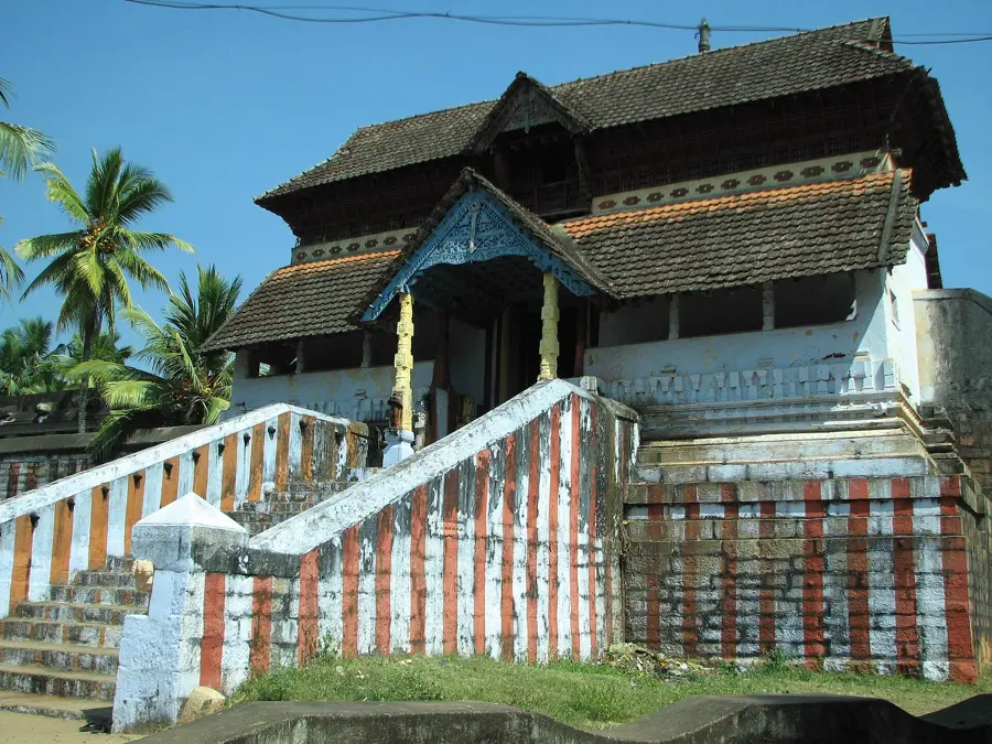
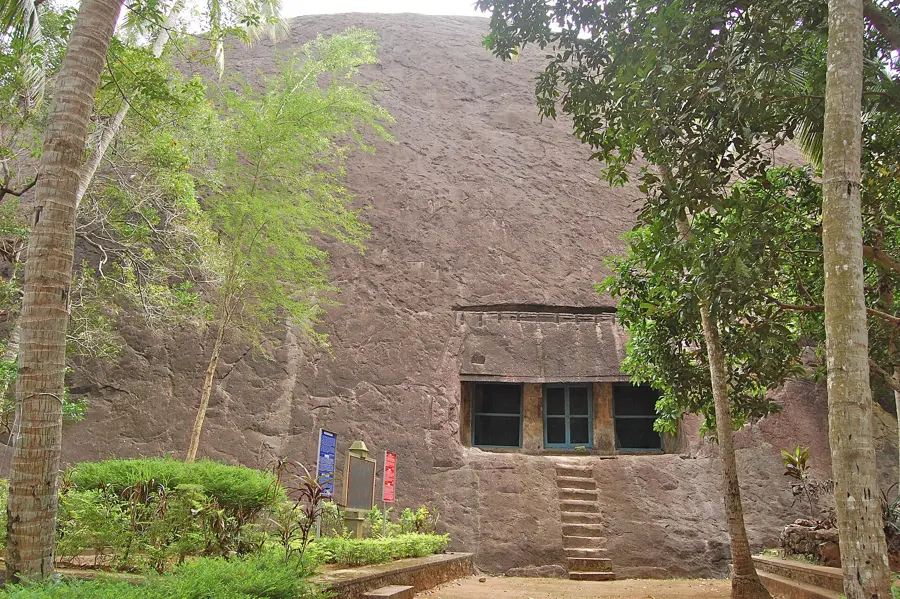
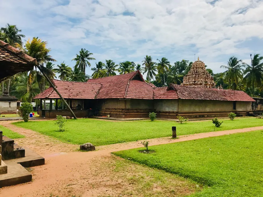
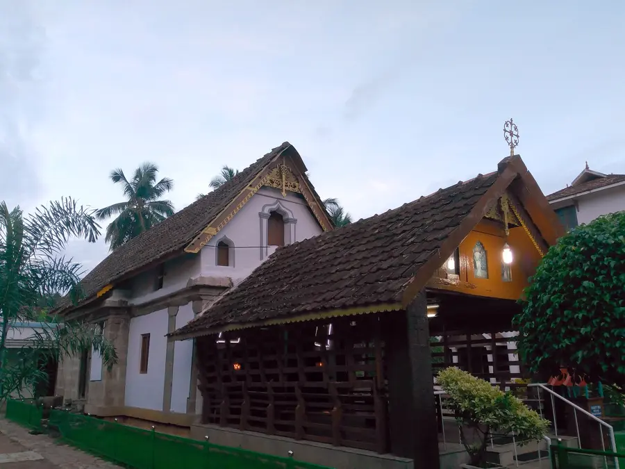
Before Thiruvananthapuram, this was the seat of the Travancore kings. Teak halls, a fort on a hillock, rock-cut shrines from the ninth century and a church with a very long memory.
West Coast
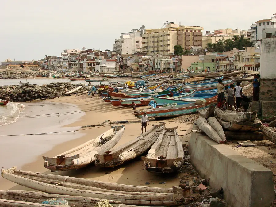
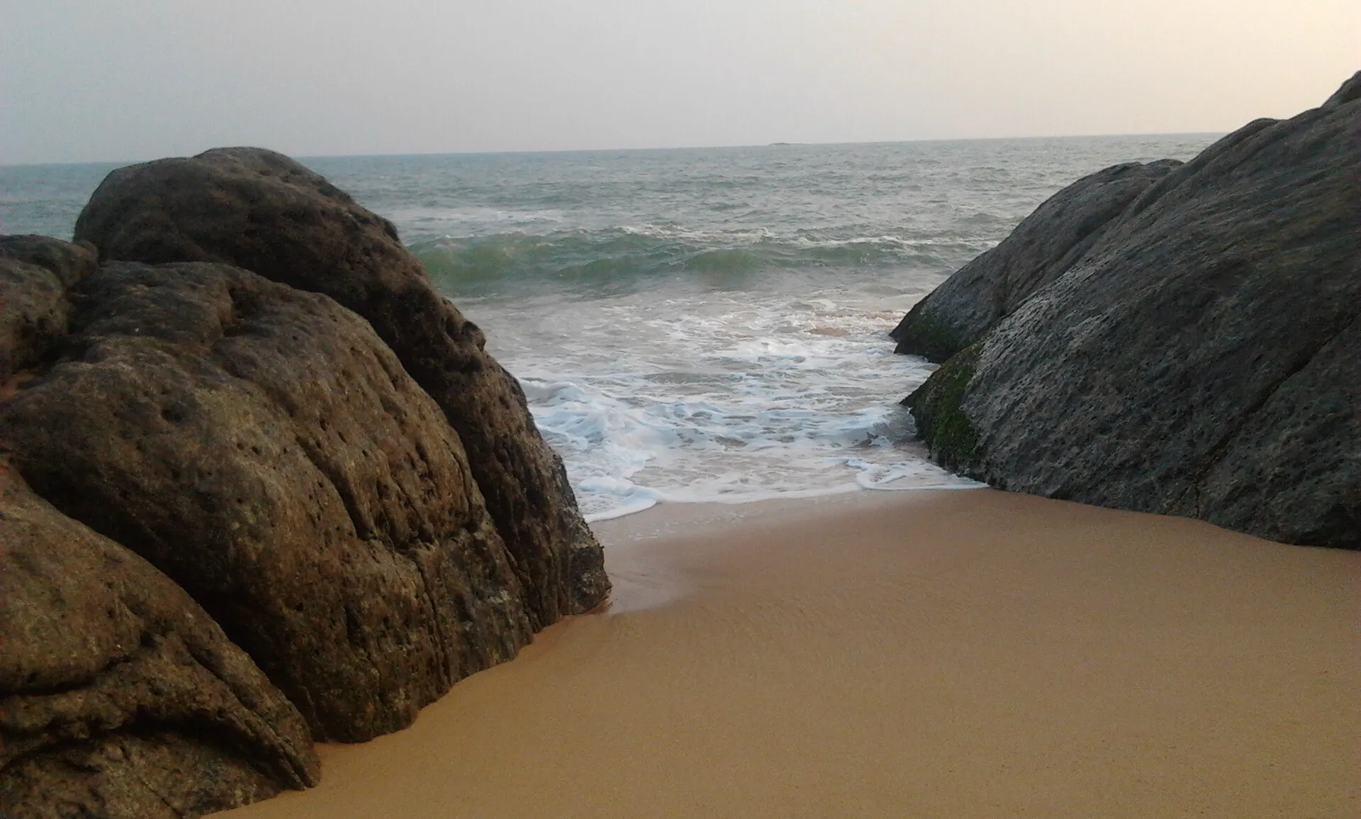
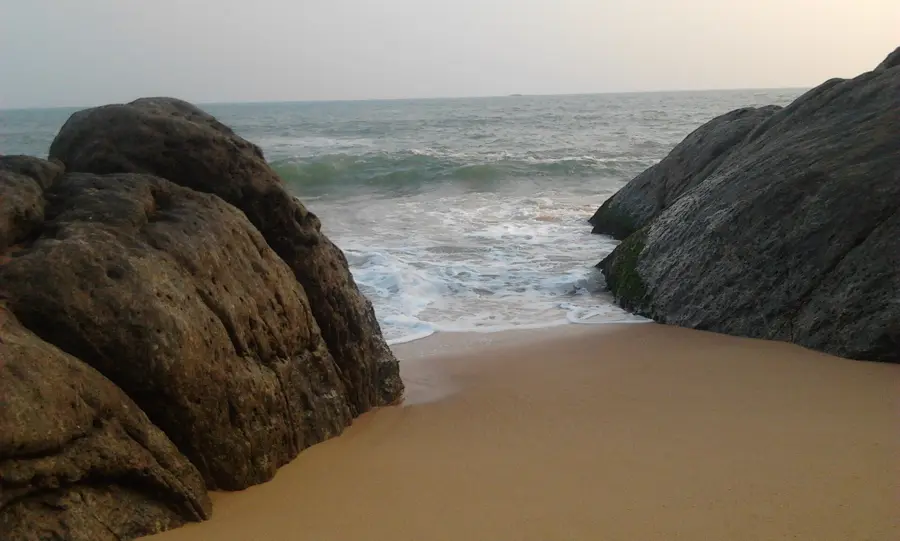
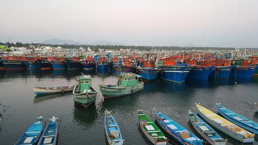
On the Arabian Sea side the coast is rocky and working. Fishing villages, black and white sand, and the shore where Travancore defeated the Dutch.
Western Ghats
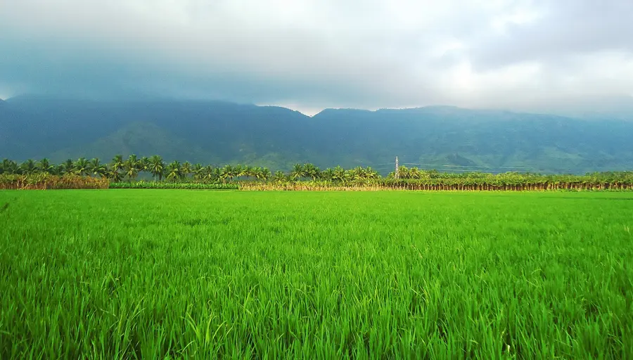
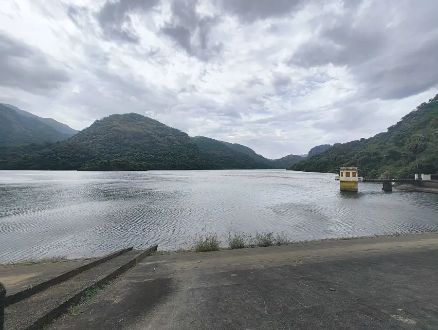
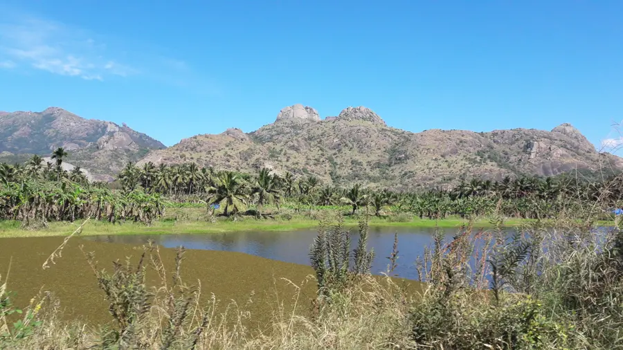
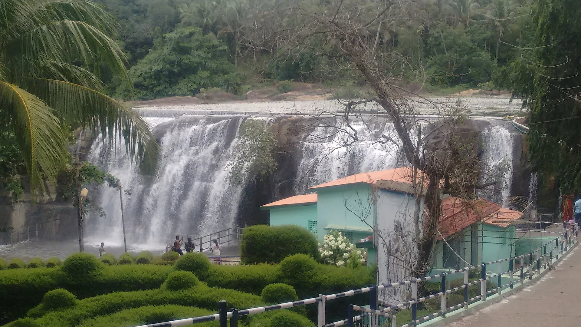
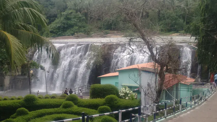
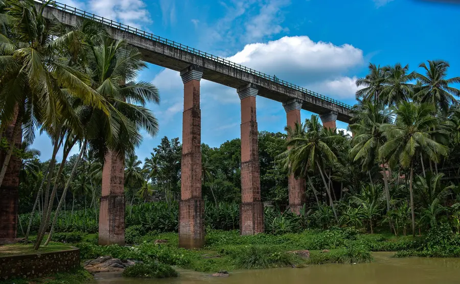
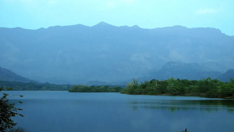
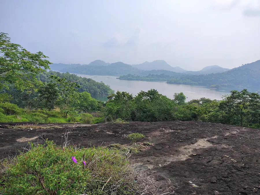
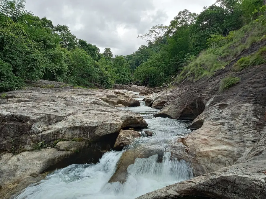
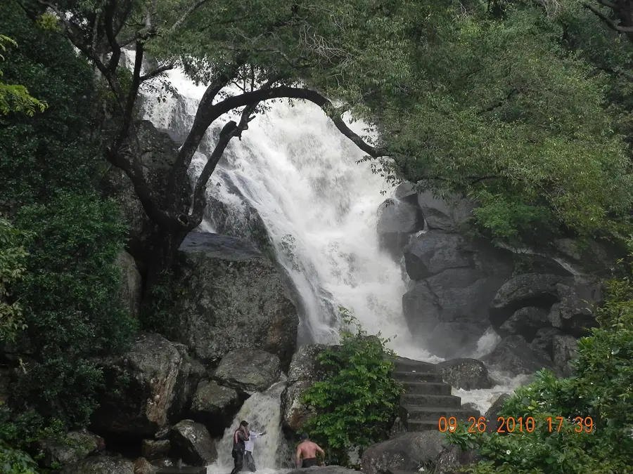
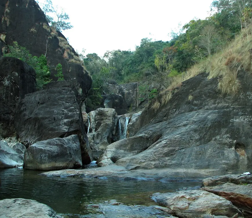
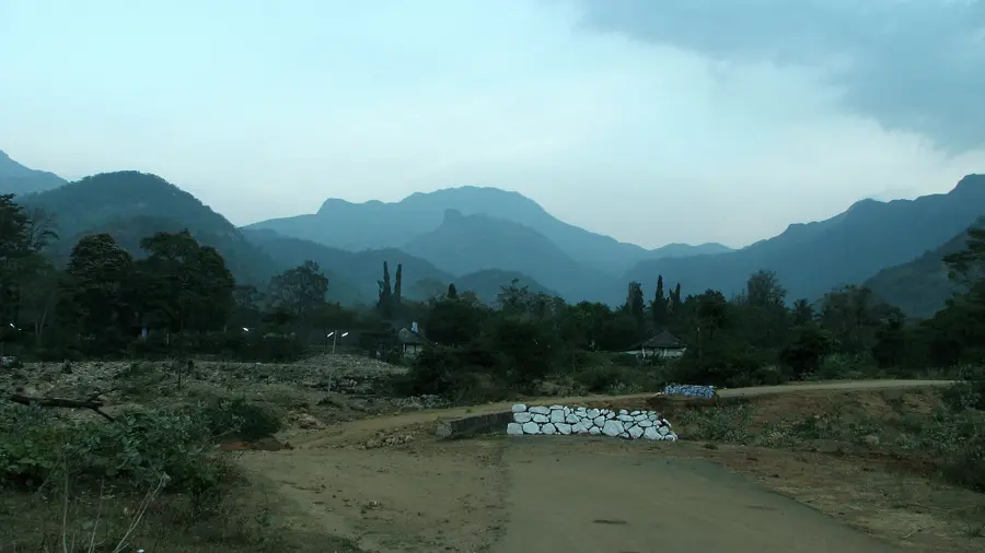
The mountains close in along the northern edge. The Kodayar drops over bare rock, a canal crosses a valley on stilts, and the forest above is tiger country.


How well do you know Kanniyakumari?
Eight real photographs. Name the place in each.
Where everything is
Tap a pin to see the place. Tap a region below to hide or show it.