Kanniyakumari
Manakudy Estuary
Photo: Kondephy · CC BY-SA 4.0
East Coast · Forest

Manakudy Estuary

மணக்குடி கழிமுகம்

Where the Pazhayar river meets mangroves, birds and the sea

Move across the photo, or drag it on a phone, to look around.

You arrive

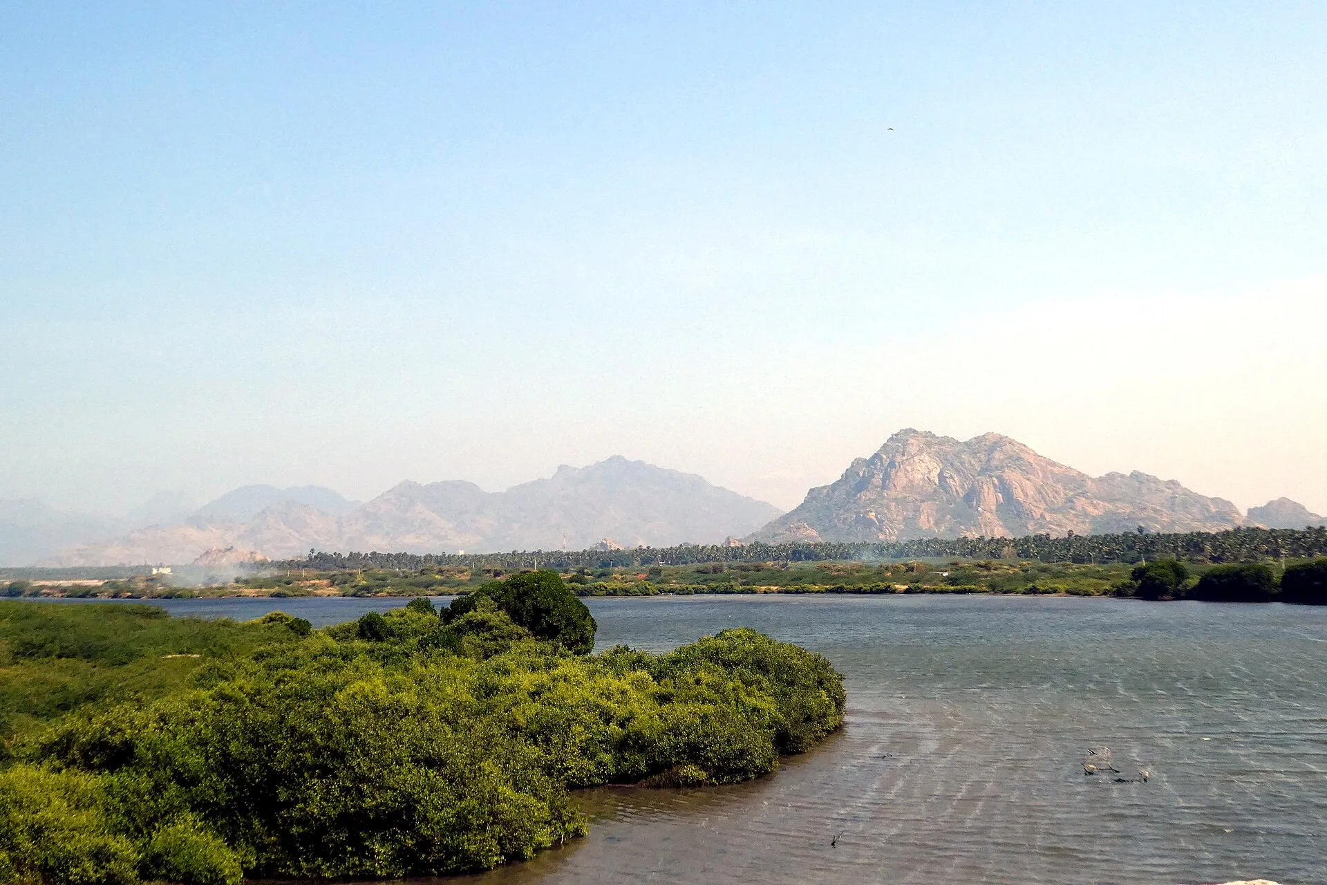
The road lifts onto the bridge and the land dissolves into water on both sides. You stop, get out, and lean on the rail. Below you the Pazhayar is ending its short journey from the Mahendragiri hills, spreading into a wide shallow lagoon before it reaches the sea. Dark green mangroves stand with their feet in the water. Somewhere out on the flats, white shapes that you took for debris lift their wings and resettle.

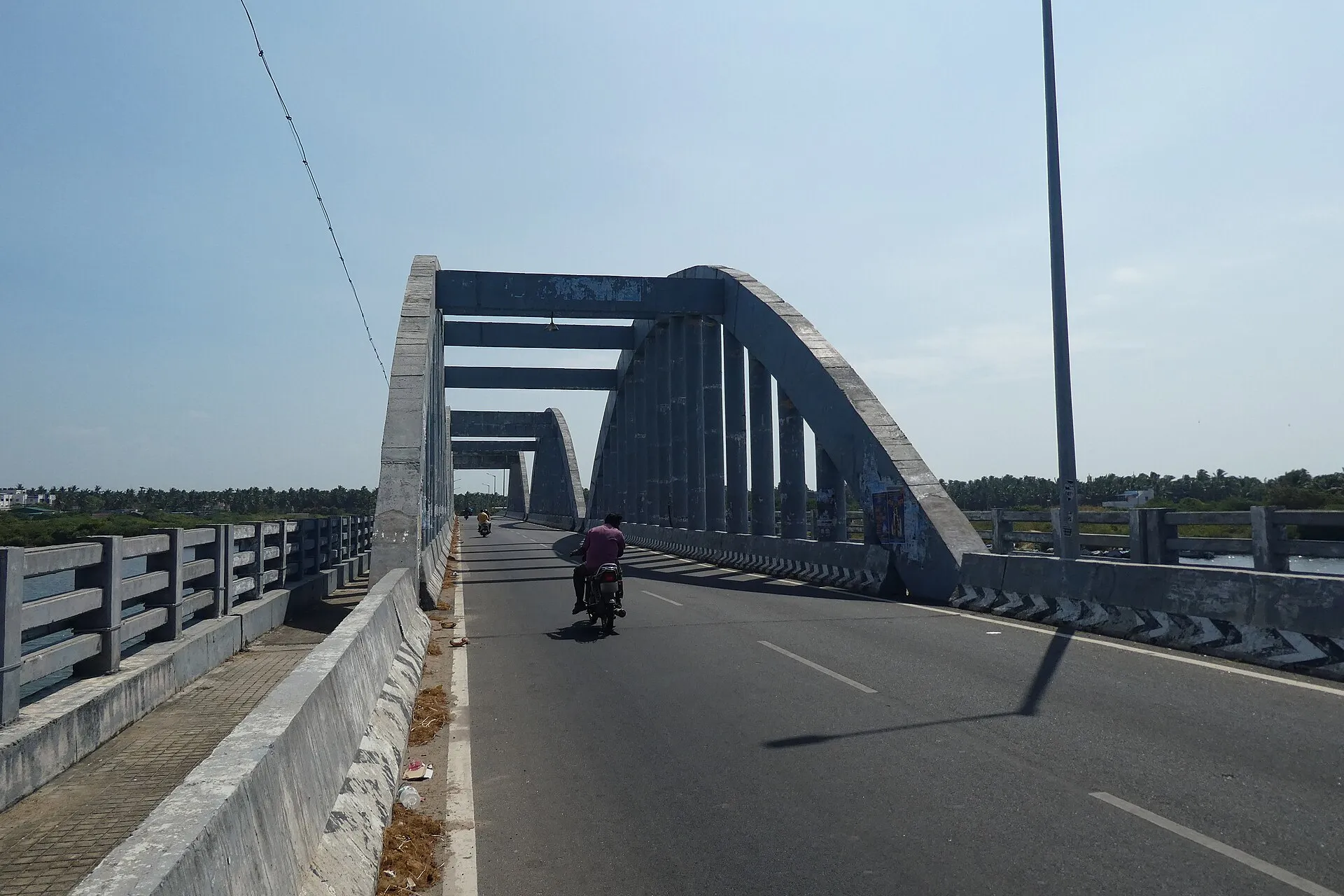
Manakudy Bridge
Manakudy Bridge · Photo: Kondephy · CC BY-SA 4.0
01 / 03

On the bridge

Stay on the bridge for a while, because it gives you the whole estuary at once. On one side the water widens toward the sea, on the other it narrows back into the land. This crossing was badly damaged by the 2004 tsunami, and the structure you stand on is part of the area's recovery. Scan the mudbanks slowly, and watch the tide lines rather than looking for anything dramatic.

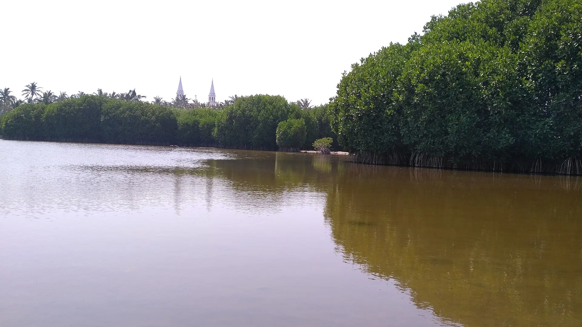
Manakudy Estuary
Manakudy Estuary · Photo: Pratheep.mn · CC BY-SA 4.0
02 / 03

Along the mangroves

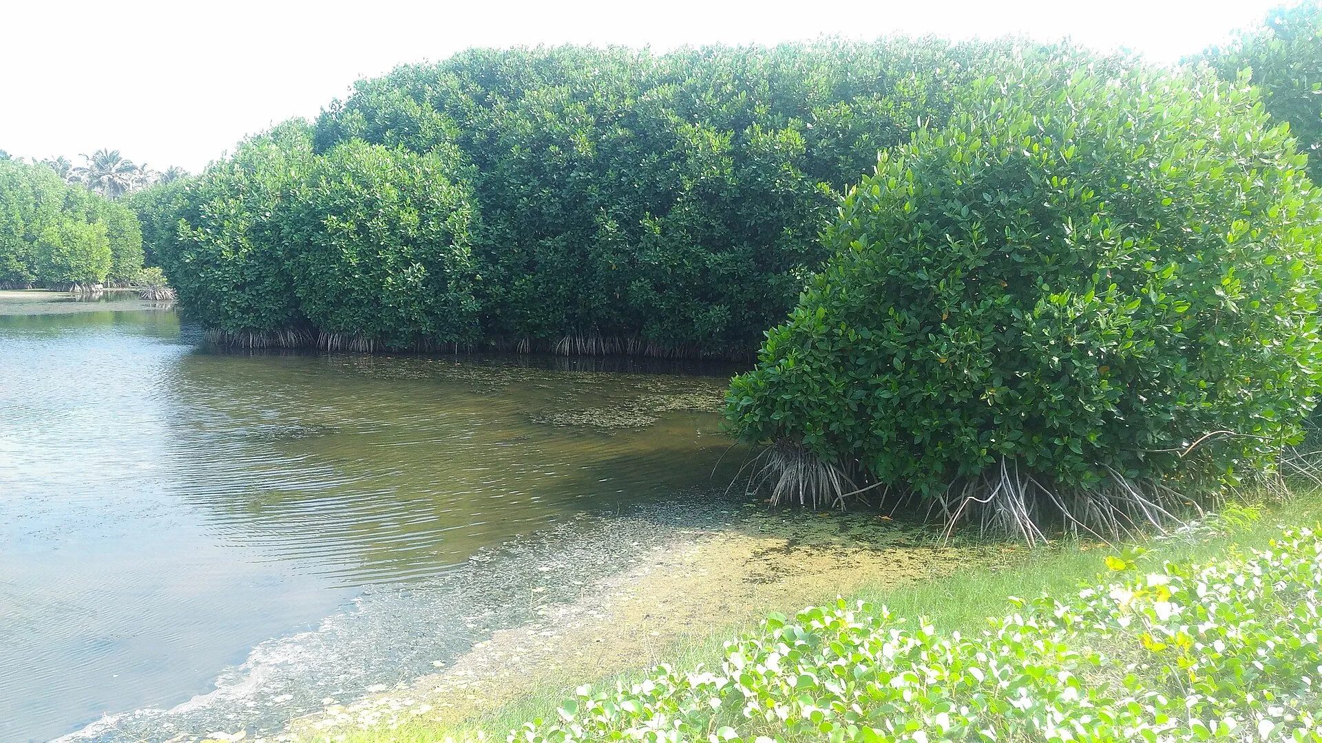
Walk down to the edge where the land allows it and look closely at the trees. Mangroves of the Avicennia and Rhizophora groups grow here, their roots rising out of the mud. Accounts from 2004 credit these trees with blunting the waves. Birds shelter among them, local and migratory, and with patience you will start to pick out movement in the shadows. You may also see plastic at the tideline, which is part of the truth of this place.

Manakudy Estuary
Manakudy Estuary · Photo: TNSE MALARVIZHI KKM · CC BY-SA 4.0
03 / 03

Toward the river mouth

Follow the water toward the sea as far as the path permits. The air changes as river gives way to ocean, and the sound of surf begins to reach you across the flats. A travel account notes a mangrove island near the mouth used by migratory birds such as pelicans and cranes. Bring binoculars if you have them, keep your distance from roosting flocks, and leave the water's edge as you found it.

Being here

You see

Flat silver water, dark mangroves and birds spread across the mudbanks.

You hear

Bird calls over still water with distant surf behind them.

You smell

Salt, mud and the green damp of the mangroves.

You feel

Humid air and a light wind across the open lagoon.

The story

Manakudy is where the Pazhayar enters a lagoon beside the Arabian Sea, after rising in the Mahendragiri hills. A fisheries journal describes it as the second largest estuarine system in the district, at about 150 hectares. Its mangroves were reported to have protected land directly behind them during the 2004 tsunami, even as the Manakudy bridge was badly damaged. The estuary is also under pressure. News reports describe sewage and plastic threatening the mangroves, and the river itself has shrunk through pollution, encroachment and siltation, while local volunteers work to restore it. It remains a valued refuge for birds, and a reminder of how much this coast depends on its wetlands.

Sources: Wikipedia: Kanyakumari district · Roundglass Sustain: Manakudy mangroves · Journal of Fisheries checklist · Manakudy mangroves report · Travel account: mangrove island · Pazhayar River note
Close by

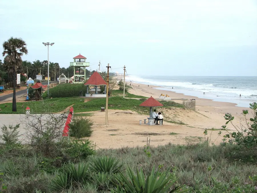
Swamithope Pathi
Photo: Vaikunda Raja · CC BY-SA 4.0
Continue the journey

Swamithope Pathi