Kanniyakumari
Nagercoil Paddy Country
Photo: Sahaya Minu Anish · CC BY-SA 3.0
Nagercoil & the Pass · Heritage

Nagercoil Paddy Country

நாகர்கோவில் வயல்வெளிகள்

Green fields and palm lines at the foot of the Ghats

Move across the photo, or drag it on a phone, to look around.

You arrive

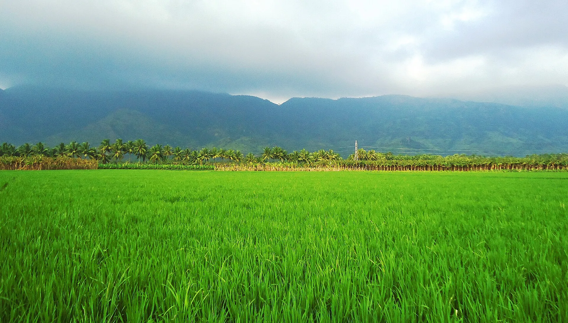
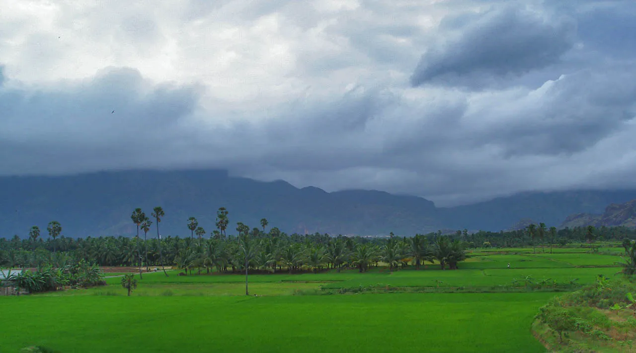
Leave the main road outside Nagercoil and within minutes the buildings thin out and the land turns green. Paddy fields lie flat to the foot of the hills, broken by lines of coconut and areca palms. The Western Ghats stand up suddenly behind it all, often with cloud on their shoulders. You turn off the engine, and in the quiet you can hear water moving in a channel somewhere close to the road.

Nagercoil Paddy Country
Nagercoil Paddy Country · Photo: w:user:PlaneMad · CC BY-SA 3.0
01 / 02

Along the field bunds

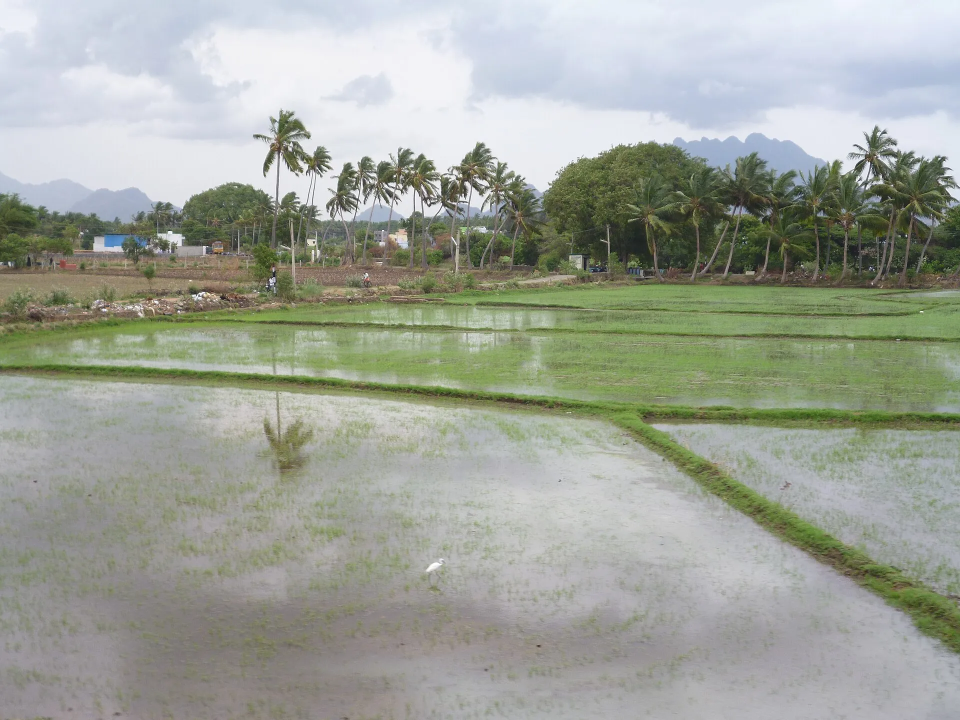
Walk the raised earth paths between the fields, stepping carefully, since they are narrow and these are working farms. Water is everywhere: in channels, in ponds and shining between the rows of young plants. This irrigated landscape is the product of a very old system of dams and canals. Egrets pick their way through the green, and if the fields have just been planted, the reflections of the palm trees lie still upon the water.

Nagercoil Paddy Country
Nagercoil Paddy Country · Photo: Arindambasu2 · CC BY-SA 4.0
02 / 02

Under the palms

Move on toward the groves that divide the fields, where shade replaces glare and the air feels softer. Tall areca and coconut trunks rise on all sides. Look back toward the hills, whose colour changes by the minute when the monsoon clouds come in. Greet anyone you meet, stay on the paths, and keep out of the fields. Then return to the road as slowly as you came.

Being here

You see

Flat green paddy, lines of palm and the abrupt wall of the Ghats.

You hear

Running water, birds and the occasional farm engine.

You smell

Wet earth and growing rice.

You feel

Soft humid air and damp soil under your feet.

Look around

The story

Kanniyakumari district receives rain from both the southwest and northeast monsoons, and the northeast monsoon from October to December is the heavier of the two. For centuries that water has been caught and channelled: the ancient Pandyan dam, the Kodayar irrigation system with Pechiparai Dam, and countless ponds, so many that the area has been called a district of ponds. The Western Ghats form its northern edge, part of a recognised biodiversity hotspot. The result is a green farmland quite unlike the dry plains on the far side of the Aralvaimozhi Pass, and it is the everyday landscape that most of the district's people still call home.

Sources: Wikipedia: Kanyakumari district · Wikipedia: Suchindram Theroor Birds Sanctuary · Wikimedia Commons: Nagercoil
Close by

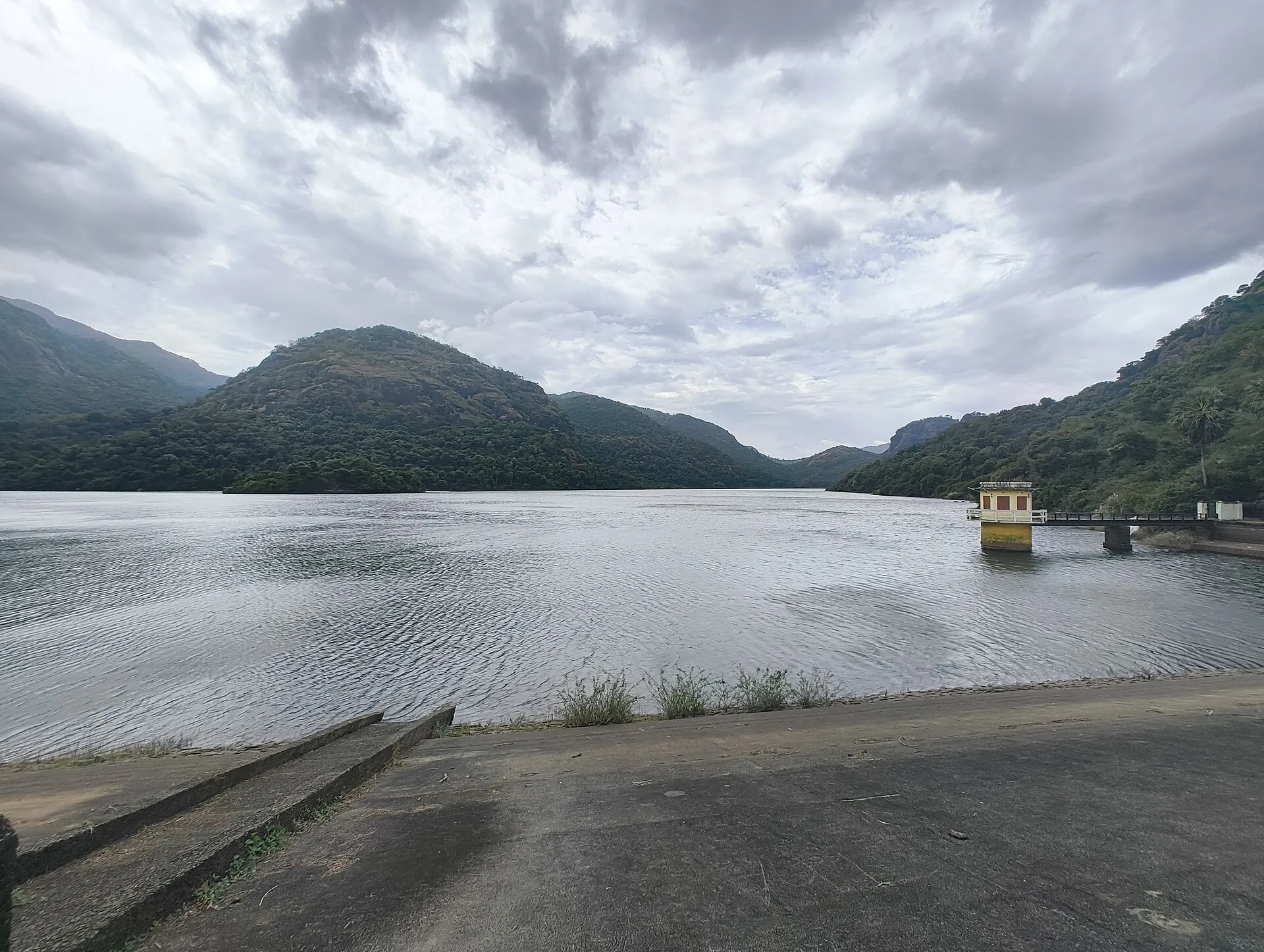
Mukkadal Dam
Photo: Hellowikidoc · CC BY-SA 4.0
Continue the journey

Mukkadal Dam