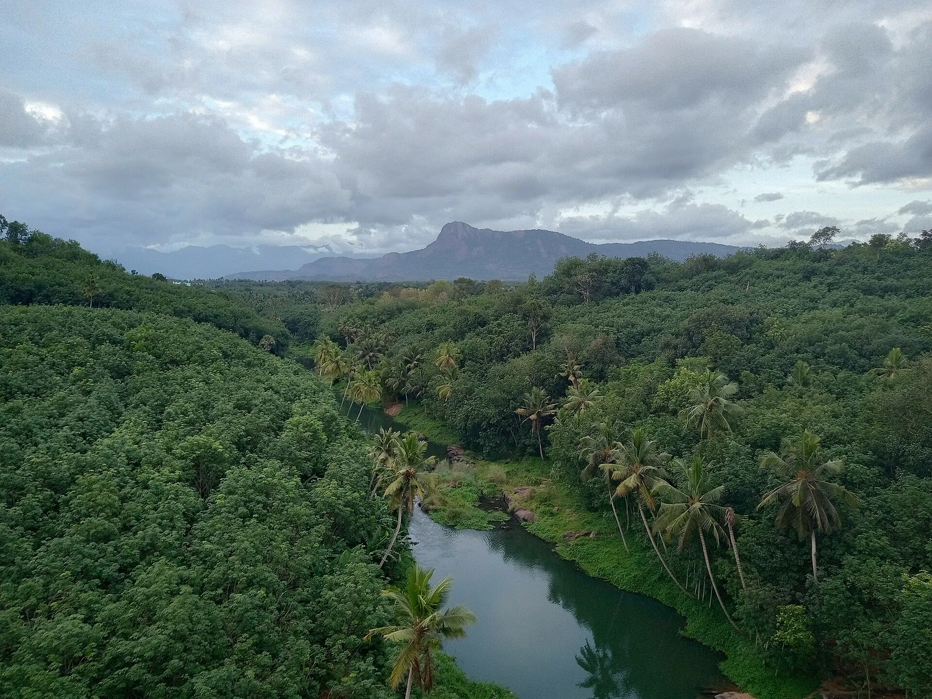
Kanniyakumari
Mathur Aqueduct
Photo: GopalKannan22 · CC BY-SA 4.0
Western Ghats · Heritage

Mathur Aqueduct

மாத்தூர் தொட்டிப் பாலம்

A canal carried across a valley on concrete pillars

Move across the photo, or drag it on a phone, to look around.

You arrive

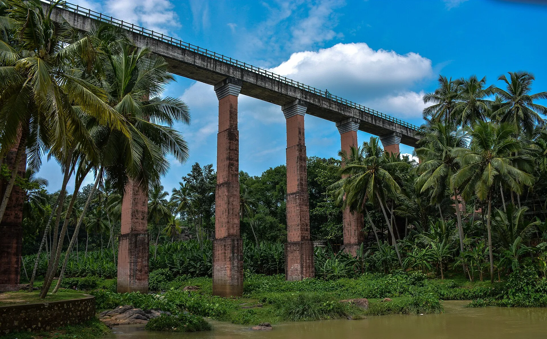
You come through the green hills around Thiruvattar and the structure appears over the trees: a long concrete channel carried high across a river valley, on tall legs. Local people call it the hanging bridge, although what it really carries is water. You stop by the park near the end of it. The valley drops away in front of you, the river is far below, and the trough heads off straight across to the far hill.

Mathur Aqueduct
Mathur Aqueduct · Photo: Infocaster at English Wikipedia · CC BY 2.5
01 / 04

The approach

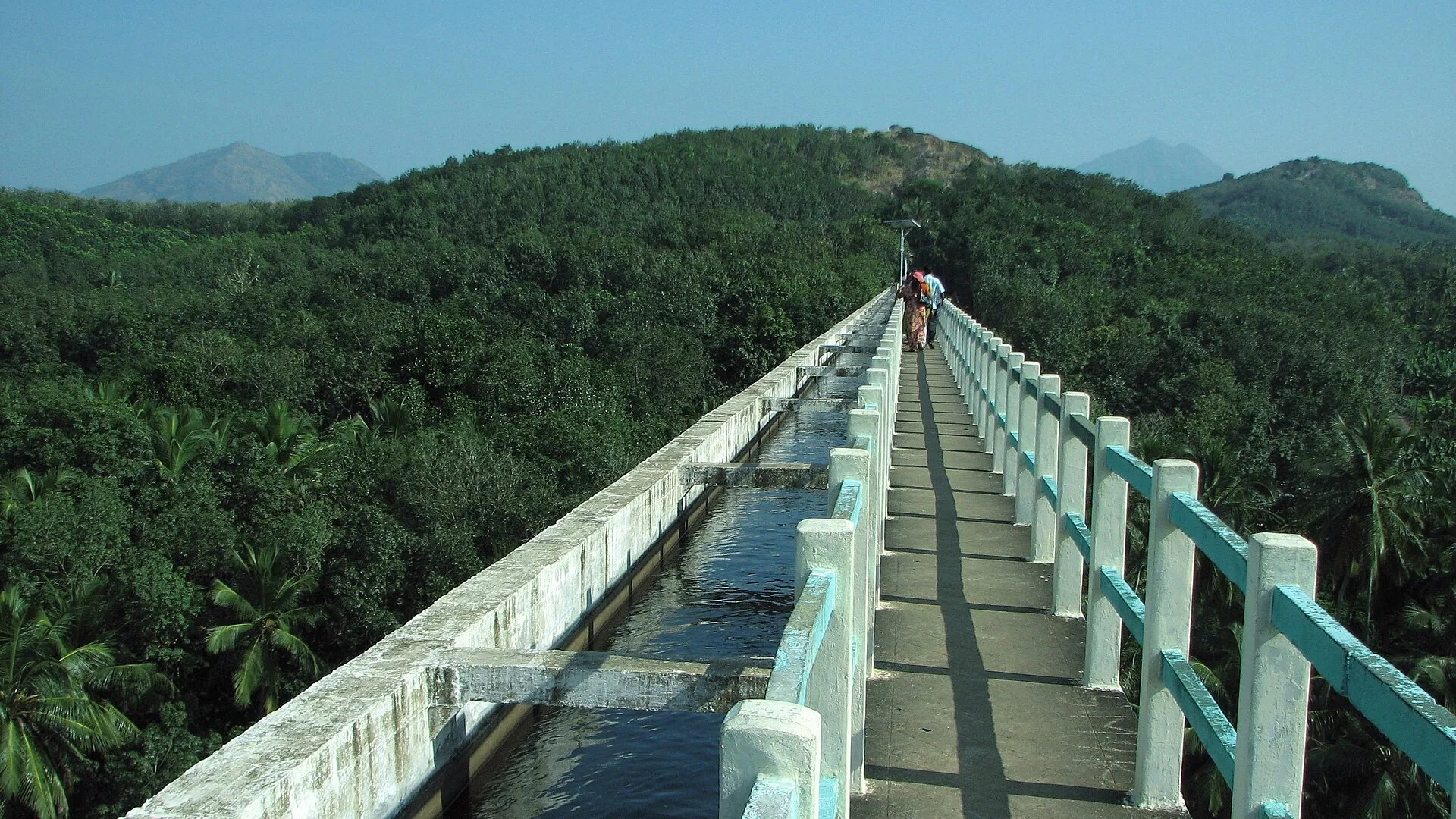
You start where the trough leaves the hill. This is the Pattanamkal canal, sent across the Parazhiyar river from one side of the valley to the other. It was built in 1966 as a drought relief measure for the Vilavancode and Kalkulam taluks. Look along the line of it and you see how level the channel is, despite the broken ground below.

Mathur Aqueduct
Mathur Aqueduct · Photo: Sajimarkose · CC BY-SA 3.0
02 / 04

Along the trough

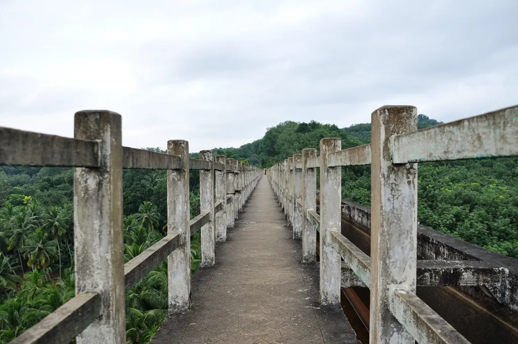
You move out along the structure, with the valley opening on both sides. The trough is 7 feet high and 7.5 feet wide and is partly covered. Twenty-eight pillars hold it up. Look down between them to the river and the trees far beneath. There is a real sense of height out here, so keep children close and do not lean over the side.

Mathur Aqueduct
Mathur Aqueduct · Photo: Samemohamed · CC BY-SA 3.0
03 / 04

Down the staircase

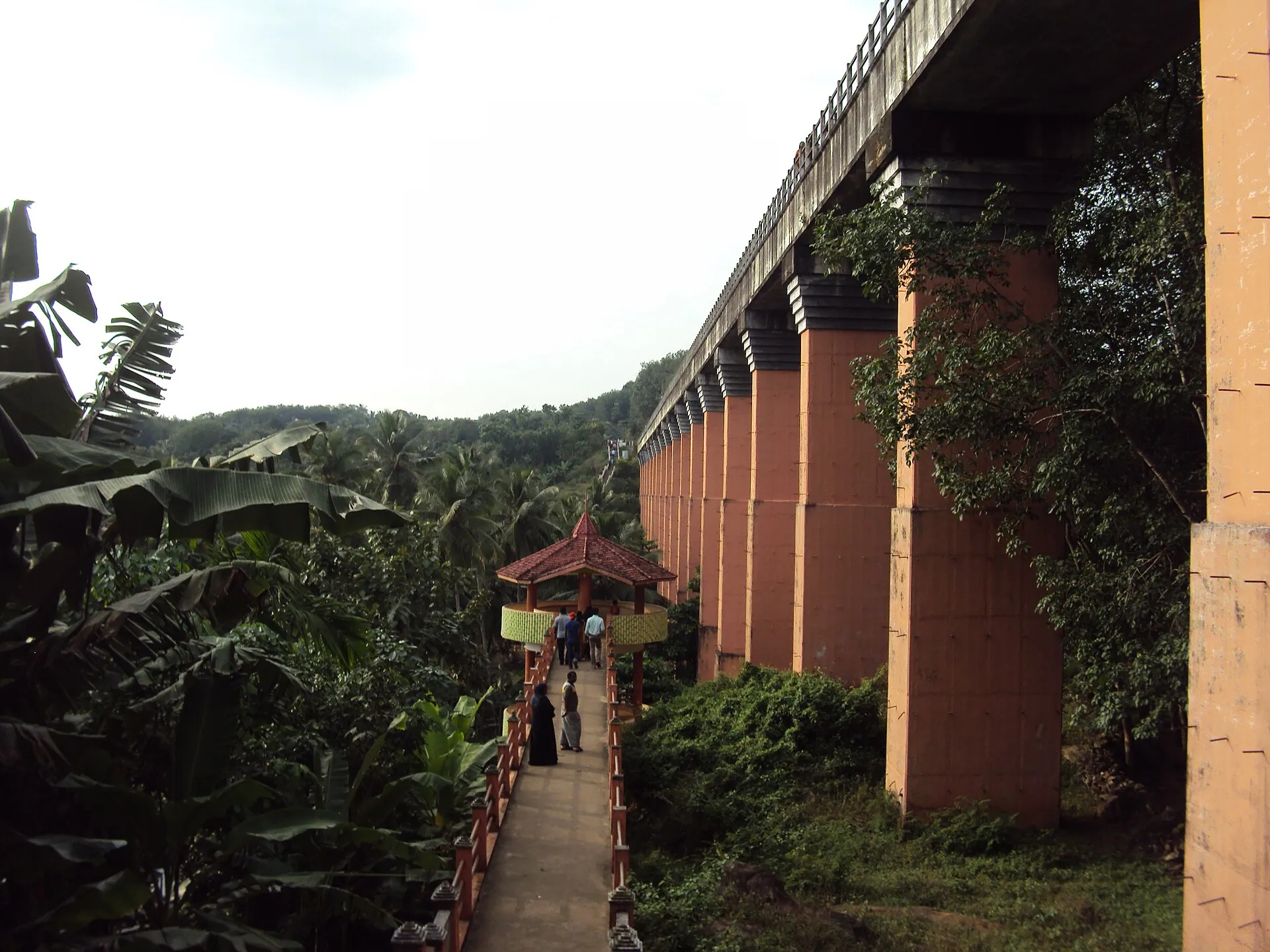
You take the staircase that runs from the top of the bridge down to the bottom. Step by step you descend past the concrete legs, and the structure looks far bigger from beneath. The official page mentions bathing platforms in this lower area. Take care on the steps, which can be wet, and stop on the way down to look up through the pillars.

Mathur Aqueduct
Mathur Aqueduct · Photo: Hellowikidoc · CC BY-SA 4.0
04 / 04

Looking up from the river

You stand near the water and look up. From here the aqueduct cuts a straight grey line across the sky, with green hills on either side. Whatever the exact measurements, it is an impressive piece of practical engineering. It was built for farmers rather than for tourists, and water still crosses overhead as you stand in the valley it was built to cross.

Being here

You see

A straight concrete trough on tall pillars above a green valley.

You hear

River water below and wind in the hill trees.

You smell

Damp vegetation and canal water.

You feel

Air moving across the open valley, and a sense of height.

Look around

The story

Mathur Aqueduct was built in 1966 at a cost of Rs 12.90 lakhs as a drought relief measure, to carry the Pattanamkal canal across the Parazhiyar river and water the Vilavancode and Kalkulam taluks. The district administration calls it the tallest and longest trough bridge in Asia. Its figures do not fully agree: the same page gives about 115 feet high and about 1 km long in its text, but 28 metres and a flume length of 378 metres in its specification table. It is supported by 28 pillars, with a trough 7 feet high and 7.5 feet wide.

Sources: Kanniyakumari district: Mathoor Hanging Bridge · Wikipedia: Mathur Aqueduct
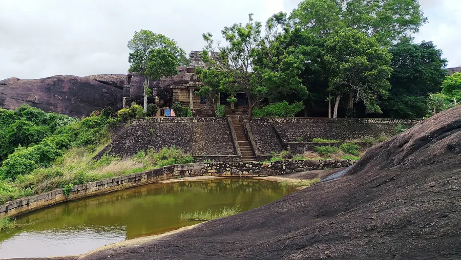
Close by

Pechiparai Dam
Photo: Infocaster · CC BY-SA 3.0
Continue the journey

Pechiparai Dam