Kanniyakumari
Marunthuvazh Malai
Photo: V.B.Manikandan at Tamil Wikipedia · Public domain
East Coast · Hills

Marunthuvazh Malai

மருந்துவாழ் மலை

The last hill of the Western Ghats, above three seas

Move across the photo, or drag it on a phone, to look around.

You arrive

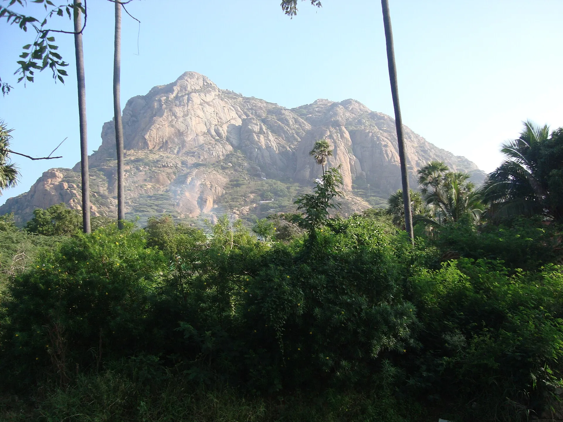
From the highway at Pothaiyadi the hill stands up abruptly out of flat land, a rough green ridge with bare rock showing through. It looks modest, and it is, only about 800 feet at its highest. But this is the southernmost tip of the entire Western Ghats, the final effort of a mountain chain that begins far away to the north. You find the start of the path, look up, and begin to climb.

Marunthuvazh Malai
Marunthuvazh Malai · Photo: Infocaster at English Wikipedia · CC BY-SA 3.0
01 / 04

Starting the climb

The path begins about a kilometre from the highway and rises through scrub and rock. The name means the abode of medicinal herbs, and as you climb you may catch sharp, green smells from plants brushing your legs. Take your time, because the sun comes off the rock as well as down from the sky. Stop to look back whenever you need to; the plain below is already spreading out.

Marunthuvazh Malai
Marunthuvazh Malai · Photo: King 2324 · CC BY 4.0
02 / 04

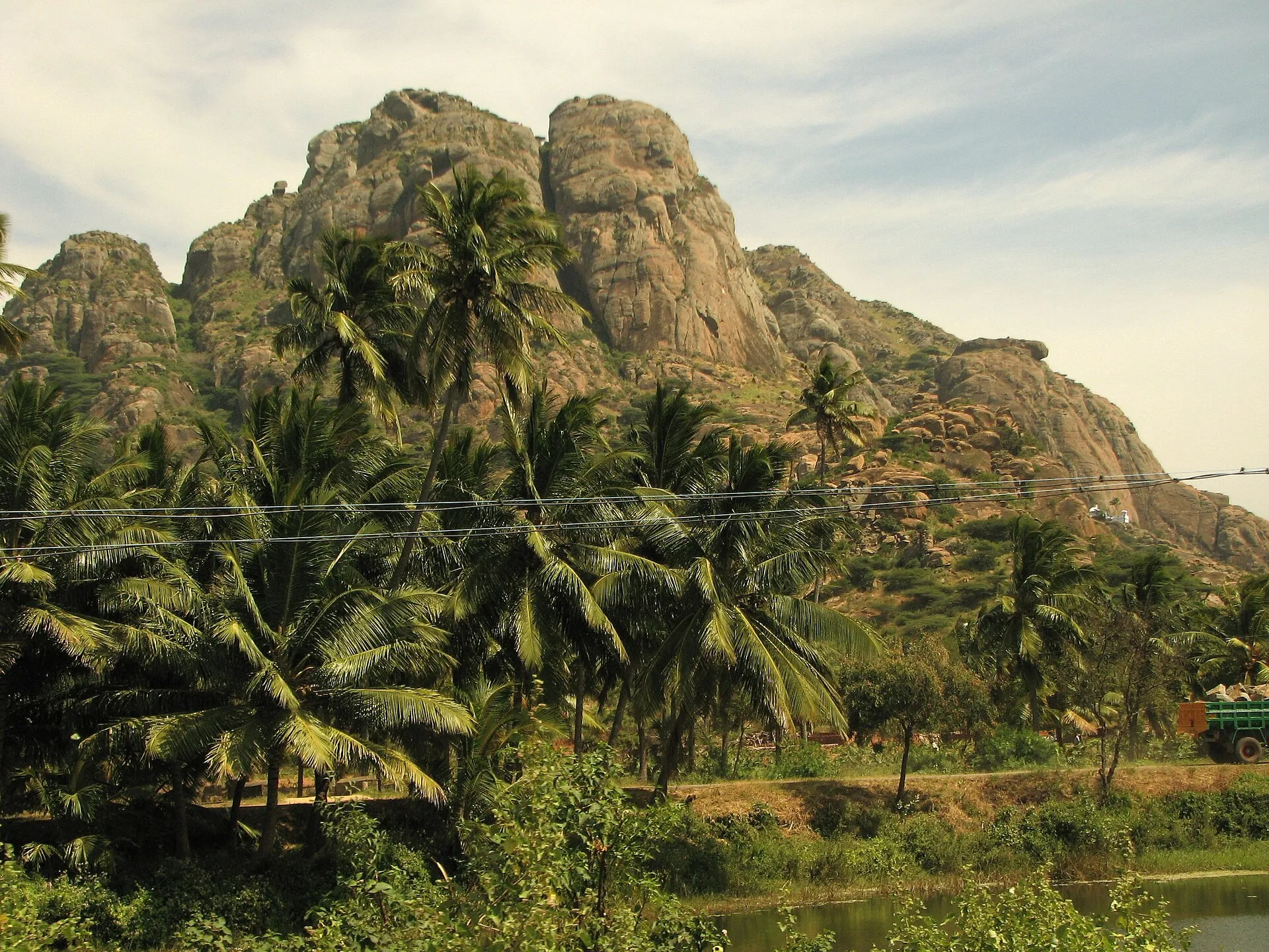
The ashram on the hillside

Part way up you reach the ashram that draws many visitors to this slope. Narayana Guru is said to have attained enlightenment during penance on this hill, and Ayyavazhi tradition links it to the life of Vaikundar. People come here to be quiet, so lower your voice and move gently past anyone sitting in meditation. It is a good place to rest, drink some water, and let your breathing settle before the last climb.

Marunthuvazh Malai
Marunthuvazh Malai · Photo: King 2324 · CC BY 4.0
03 / 04

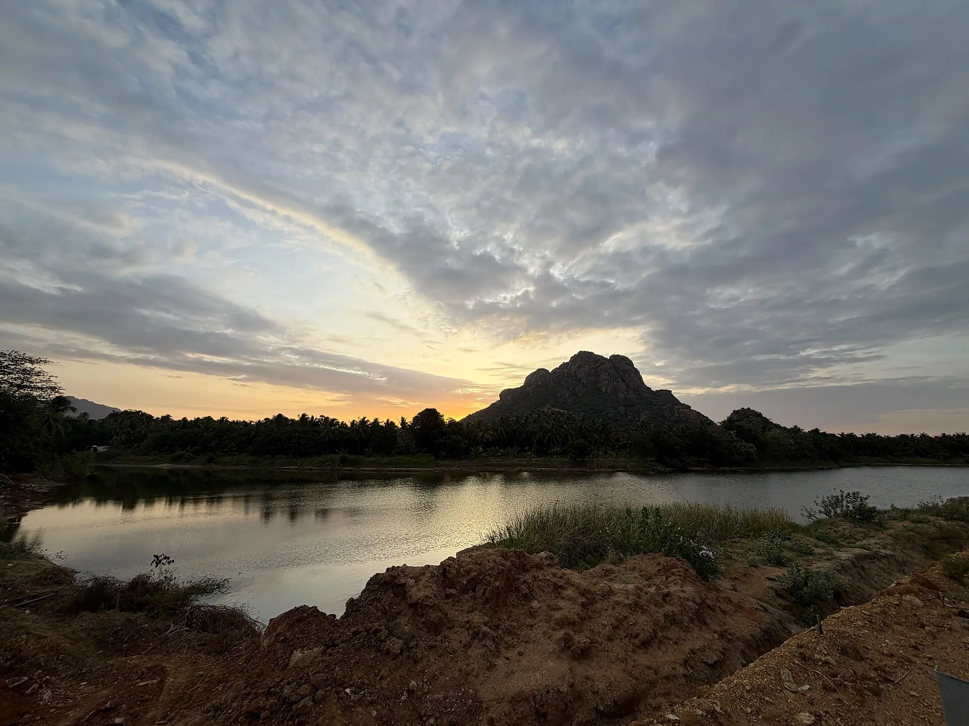
Along the ridge

Above the ashram the ground opens and the ridge runs on for more than a kilometre. The wind arrives without warning here, after the stillness of the lower slope. Coconut palms lie below you in shades of green that shift as clouds pass. Go carefully over the exposed rock, especially if it is wet, and resist the urge to step closer to edges for a better photograph.

Marunthuvazh Malai
Marunthuvazh Malai · Photo: V.B.Manikandan at Tamil Wikipedia · Public domain
04 / 04

The view of the land's end

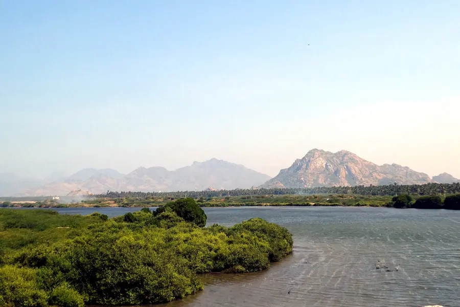
At the highest point, stop and turn slowly. Wikipedia describes a view of the narrowing V of the subcontinent, with sea visible on either side and beyond. You are looking at the actual end of India, laid out like a map, with bands of blue at the horizon and green below. Stay until you have properly understood where you are, then start down well before the light begins to go.

Being here

You see

Coconut green below and bands of blue sea at the horizon.

You hear

Wind across open rock and the small sounds of the scrub.

You smell

Sharp green scents of hillside plants.

You feel

Hot rock underfoot, then a sudden cool wind on the ridge.

The story

Marunthuvazh Malai, part of the Sanjeevi hills, forms the southernmost tip of the Western Ghats in Agasteeswaram taluk. Its name means the abode of medicinal herbs, and people in southern Kerala call it Maruthuva Mala. The hill stretches for more than a kilometre and reaches about 800 feet. It has long drawn seekers. Narayana Guru is said to have attained enlightenment during penance here, and some Ayyavazhi theologians hold it sacred, identifying it with Parvatha Ucchi Malai in their tradition. It also appears in the biography of the saint Sripada Sri Vallabha. Distances to Kanniyakumari town vary between sources, from about 7 km to about 10 km.

Sources: Wikipedia: Marunthuvazh Malai · Wikipedia: Kanyakumari district
Close by

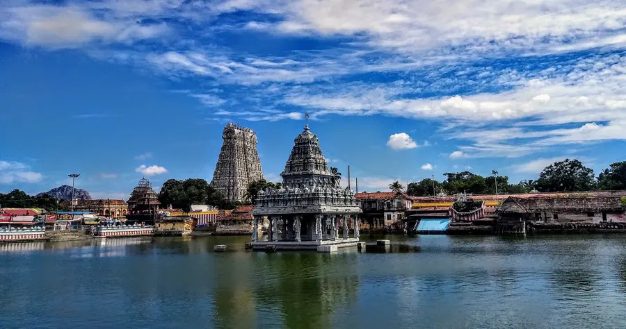
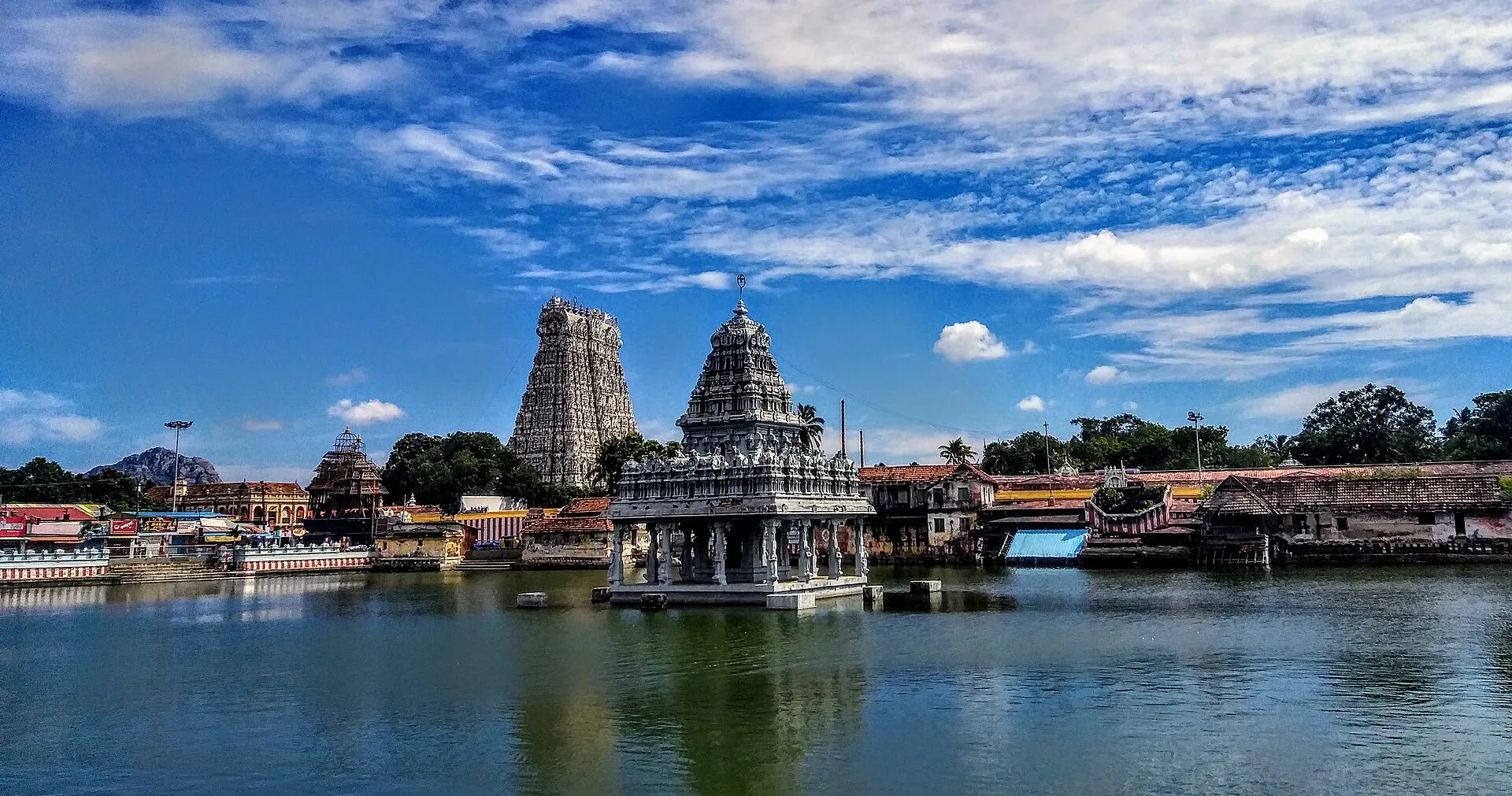
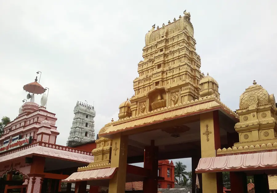
Thanumalayan Temple, Suchindram
Photo: Balurbala · CC BY-SA 4.0
Continue the journey

Thanumalayan Temple, Suchindram